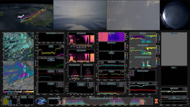
The CAMP2Ex exhibition video illustrates data gathered during CAMP2Ex's Research Flight 09. During this flight, the team gathered data linking high concentration of aerosols near the Philippines to biomass burning in Indonesia. (Credit: NASA/AVL)
NASA field campaigns”which study Earth from air, sea and on the ground”return vast troves of valuable data. Sometimes, however, processing so much raw information and related satellite imagery can slow the pace of scientific discovery.
To combat that lag in output, researchers and programmers have developed a prototype 3D video dashboard for data from field campaigns that will make information easier to process and more readily available to anyone across the Earth science community.
The final visualization prototypes include a three-minute video in 3D as well as a longer data dashboard video depicting 76 different data variables. These visualizations”as well as the raw data from the CAMP2Ex field campaign”meet NASA's Open Source Science requirements and are freely available to the public.

