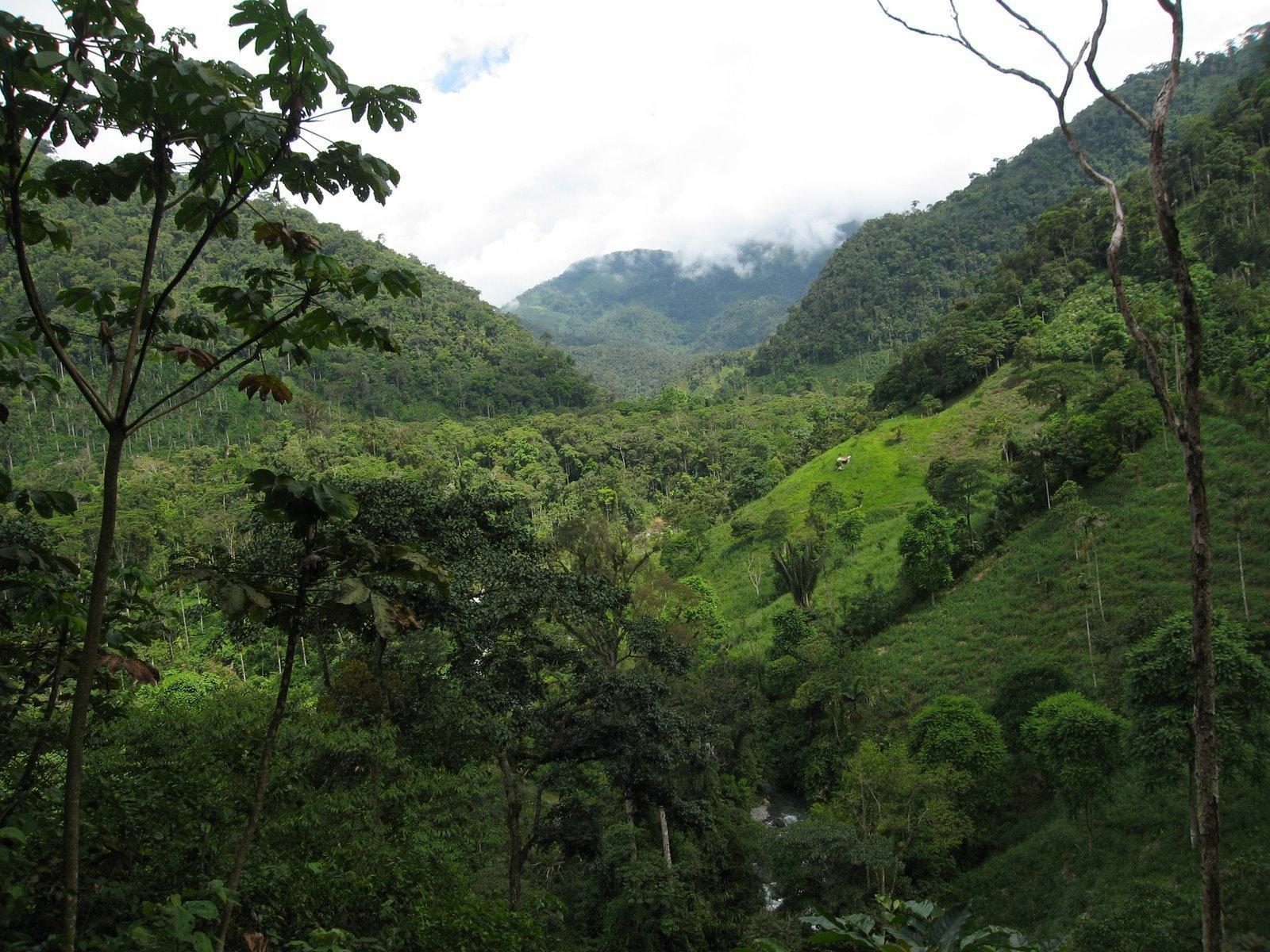
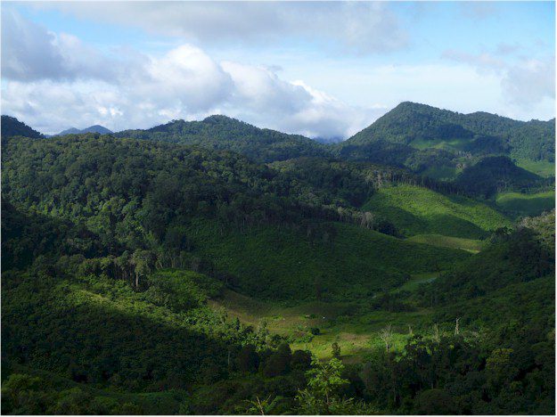
Conservation International is proving to the world that social and economic benefits don’t need to come at the expense of nature. Nature is fundamentally essential to future prosperity. By Max Wright, remote sensing and geospatial modeling analyst, and Melissa Rosa,...
Is Activity-Based Intelligence a Modern Crystal Ball?
Making accurate predictions remains a human-based activity, but this powerful new paradigm is sweeping the U.S. intelligence community. By Rob Mott, vice president of Geospatial Solutions, Intergraph Government Solutions...
Data Fusion Empowers Geospatial Analysis
Tremendous value and insights are achieved when all available data—raster, vector, numerical data and even subjective cultural aspects—are fused together into models that can identify spatial patterns. By Greg Hammann, Amanda Marchetti and Kumar Navulur,...
Crouching Tiger, Hidden Danger
Tigers have nearly disappeared in Indochina, signalling danger signs for many other species. Â In a race to preserve critical wildlife habitat, geospatial tools are essential to success. By Victoria Caplin, a freelance writer based in London. The Nam Et-Phou Louey...
Managing Big Data
NASA Tackles Complex Data Challenges The agency’s EOSDIS program manages some of the most intricate and diverse datasets on the planet. By Hampapuram Ramapriyan, assistant project manager, Earth Science Data and Information System (ESDIS), NASA Goddard Space...
Advanced Imagery Analysis Supports GEOINT Success
By Daryl Madden, director of advanced concepts, Overwatch Geospatial Solutions (www.overwatch.com), Sterling, Va. Not long ago, Earth imagery analysts were starving for data and happy to find a panchromatic image of their area of interest. Today, the volume and...
Surveying Uncharted Territory
Click here to see our "Surveying Uncharted Territory" article.
Going Mobile
Click here to see our "Going Mobile" article.
Creating a Healthier Planet
Click here to see our "Creating a Healthier Planet" article.
Meet the New Remote Sensing Professionals
Click here to see our "Meet the New Remote Sensing Professionals" article.