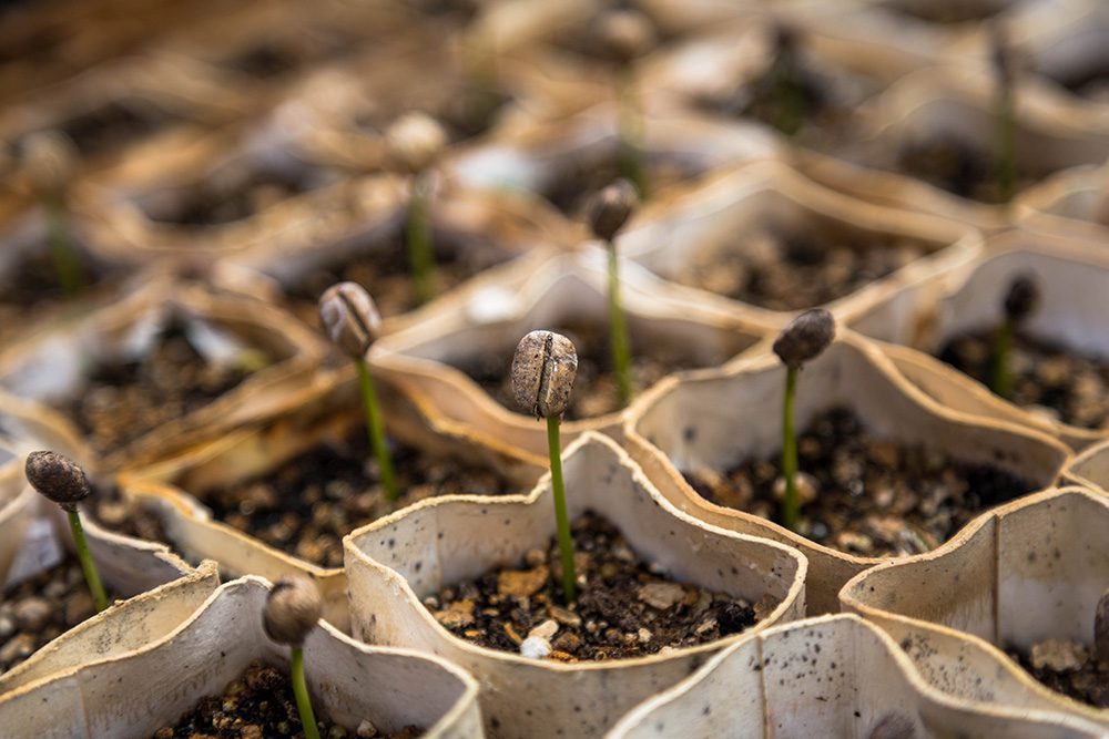
Earth-i teamed with WeatherSafe to support coffee farmers of Burundi through Earth-i's ACCORD program, which combines high-resolution satellite imagery with crop analysis to provide stakeholders with critical insights on key coffee farming decisions to improve crop quality, thereby supporting sustainable growth for coffee farmers large and small.
Deveron Receives National Approval to Operate Drones Across Canada
TORONTO, ONTARIO - Deveron UAS Corp. (CSE:DVR)(CSE:DVR.CN)(CNSX:DVR) ("Deveron" or the "Company"), is pleased to announce that it has been granted approval as a Compliant Operator under its Special Flight Operations Certificate ("SFOC") for the operation of a small...
OGSystems Releases Next Generation PeARLTM Product Line
CHANTILLY, Va.- OGSystems (OGS), a leader in technology innovation for the Department of Defense (DoD) and Intelligence Community (IC), today announced the latest updates to the PeARL 3D aerial imaging system and PeARL Flash, their sensor agnostic, 2D/3D enterprise...
Drone Aviation Introduces FUSE Automated Smart Winch Tethering System for DJI Inspire Drones
Drone Aviation Holding Corp.  a manufacturer of tethered drones and lighter-than-air aerostats, today introduced FUSE, its automated smart winch tethering system designed to meet the unique specifications for DJI Inspire drones, the world’s most popular commercial...
MediaMapper App Amps Up Your Photos and Videos on Google Earth
Fort Collins, Colo. — Red Hen Systems, LLC, announces updates and a price reduction for its powerful MediaMapper Mobile (MMM) app. Available on the Google Play store for just $1.99, the versatile, user-friendly app empowers anyone with an Android smartphone or...
LiDAR for Drone 2017: Yellowscan International User Conference
Montpellier, France -Â YellowScan has put together a diverse and exciting agenda for the YellowScan LiDAR for Drone 2017 User Conference, proving the broad usage of YellowScan LiDAR equipment in applications such asarcheology, forestry, powerlines, surveying, mining...
Bluesky Aerial Maps Help Assess Risk of Flash Floods
Aerial photography from Bluesky is being used to identify changes in sediment movement in upland river courses, to help assess the risk of flash flooding. In research centred on the English Lake District National Park, the imagery is helping map region-wide river...
COPTRZ Release First UK Drone Market Intelligence Report
The surveying and emergency services sectors are set to be revolutionized by drone technology according to a newly released report. COPTRZ, the commercial drone experts, have released the UK’s first drone market intelligence report, ‘Eyes on the Sky’, with...
Intermap Technologies Reports Acquisition Services Task Order
DENVER – (TSX: IMP) (ITMSF:BB) – Intermap Technologies Corporation (“Intermap†or the “Companyâ€) announced the Company was awarded a $3.1 million task order for airborne radar mapping services. Intermap is using its proprietary airborne sensor technology...
Portable UltraCam Panther Offers High-Quality Imagery, Video and LiDAR
Graz, Austria — May, 2017 — Vexcel Imaging is announcing the new UltraCam Panther, a versatile portable platform that carries complementary sensors to capture full-spherical imagery and video, dense 3D LiDAR point clouds and precise trajectory information in both...