Riga - SPH Engineering is bringing drones and entertainment industry more closely by integrating ArtNET protocol into drone swarm management software UgCS DDC. ArtNET integration enables to incorporate drones equipped with show elements into stunning outdoor shows...
Aerojet Rocketdyne Propulsion Guides Cassini on its Grand Finale at Saturn
SACRAMENTO, Calif. - Aerojet Rocketdyne, Inc., a subsidiary of Aerojet Rocketdyne Holdings, Inc. (NYSE:AJRD), played a vital role in the planned plunge of NASA’s Cassini spacecraft into Saturn. As the spacecraft entered the atmosphere, Aerojet Rocketdyne’s onboard...
Unmanned Systems Industry Leaders are Gathering in Odense
Odense, Denmark — With over one hundred participants, topping 750 high quality visitors and an international speakers line up, TUS Nordics promises to be the exciting fifth edition for the entire unmanned systems industry. Covering the full civilian and commercial...
GfK Releases New Maps for Russia
Bruchsal, Germany – GfK recently updated its digital maps of Russia. The maps offer up-to-date coverage of the boundaries of Russia’s administrative and postal regions. As such, they provide a reliable foundation for geographic analyses of market and company...
GA-ASI Conducts First Flight Test from Upgraded FTTC
GRAND FORKS, N.D. – On August 30th, General Atomics Aeronautical Systems, Inc. (GA-ASI) flew its first test flight out of its new Flight Test and Training Center (FTTC) facility in Grand Forks, North Dakota. The GA-ASI Block 5 Predator® B/MQ-9 Remotely Piloted...
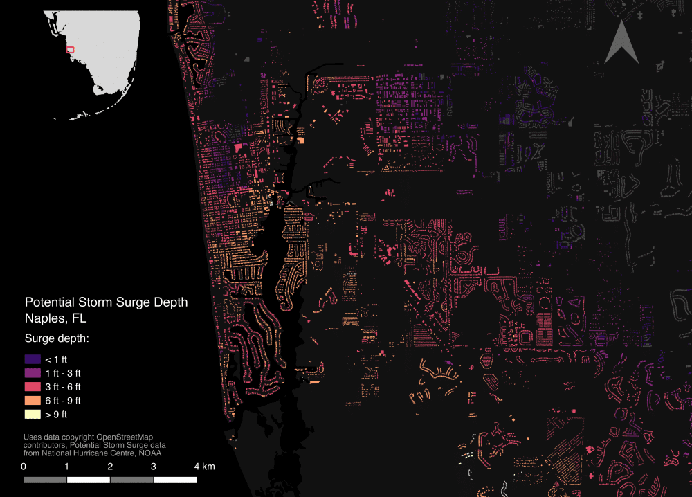
Key Data Made Available to Support Disaster Relief
Hurricane Harvey in Houston, Irma across the Caribbean and Florida, and the earthquake that struck off the southern coast of Mexico have left communities grieving for lost relatives and in need of urgent support to rebuild the vital infrastructure of their towns and cities.
Aerial Mapping Company Bluesky Celebrates 2017 Flying Success
Aerial mapping company Bluesky is celebrating following its most successful flying season to date. As temperatures soared, Bluesky took to the skies deploying three dedicated survey aircraft. To date, Bluesky has captured more than 70,000 square kilometres of aerial...
Utah Department of Transportation Awards PTFS Contract to Use Knowvation GS as Enterprise Geospatial Content Management System
NORTH BETHESDA, Md.- iReach/ Progressive Technology Federal Systems, Inc. (PTFS), today announced that it received a contract award from Utah Department of Transportation (UDOT) for its flagship Knowvation GS Geospatial Content Management Systems (GeoCMS). PTFS won...
Edmonton Metro Capital Region Board Wins Esri Canada's Award of Excellence
EDMONTON, Esri Canada User Conference – The Capital Region Board (CRB) of the Edmonton Metropolitan Region has won an Award of Excellence from Esri Canada for demonstrating how geographic information system (GIS) technology can help disparate government officials...
Drone Guarder, Inc. Announces Version 2.0 Operating System For Seamless Functionality with their Apps
LONDON- Drone Guarder, Inc. (OTCQB:DRNG): The Drone Guarder software and app development team have completed Version 2.0 of the DG Operating System, which provides seamless functionality with its apps, scheduled soon to be launched on Apple and Google app stores....
