DALLAS, TEXAS – After a hugely successful European launch of GeoSLAM’s new hardware and software offering at InterGeo in Berlin, GeoSLAM will be premiering its new products to American audiences at the Fall BIM Forum in Dallas, Texas. The ZEB-REVO RT is the next...
Trimble Introduces ISOBUS-Compatible GFX-750 Display System with Advanced Guidance Controller for Agriculture Applications
SUNNYVALE, Calif. - Trimble (NASDAQ: TRMB) introduced today the Trimble® GFX-750™ display system for agriculture applications. The display system comes with the simple-to-install, roof-mounted NAV-900 guidance controller featuring Trimble's most advanced...
GPSdome to Announce GPS Anti-Jamming & Anti-Spoofing Antenna Module Solution for Timing Systems at ITSF
GPSdome Ltd., the Cyber Company, announced the release of its new product, GPSdome 1.0 Model T, which provides GPS anti-jamming and anti-spoofing protection for GPS-based timing systems. The new product identifies GPS jamming and spoofing attacks, and retains the GPS...
Garmin Acquires Navionics
SCHAFFHAUSEN, Switzerland - Garmin Ltd. (NASDAQ: GRMN) today announced that it has acquired Navionics S.p.A., a privately-held worldwide provider of electronic navigational charts and mobile applications for the marine industry. “Navionics has long been known as a...
SimActive Automates Direct Georeferencing
Montreal, Canada – SimActive Inc., a world-leading developer of photogrammetry software, is pleased to announce an automated solution for direct georeferencing from real-time kinematic (RTK) positioning. Within the new workflow feature, users can easily get high...
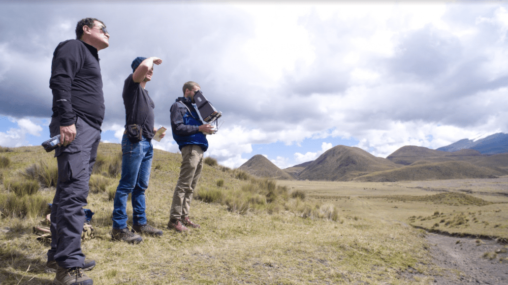
Drone Mapping Creates Digital Record of Endangered Archaeological Sites
Drone mapping provides a fast, accurate and noninvasive way to document archeological sites, creating a historical record of a country's cultural heritage and giving archaeologists a rich set of data and models to be used for further research.
With New AirMap-FAA Integration, Drone Operators Receive Automated Access to Controlled Airspace
SANTA MONICA, Calif. - For the first time ever commercial drone operators can request automated authorization to fly in controlled airspace near select U.S. airports using the same AirMap iOS and Android applications they use today for flight planning and real-time...
New Interactive Map Reveals the Colorado Counties With the Most Felony DUI Arrests
DENVER -Â Determined to raise awareness to an old problem that shows no signs of improving, Tiftickjian Law Firm, P.C. has released an interactive map to easily pinpoint where the majority of DUI/DWAI arrests and felony charges occur. It's an alarming number. So far...
Bluesky UK Tree Map Helps Community Forest Rebuild Environment
Leicestershire, UK – One of England’s original Community Forest projects is using Bluesky’s National Tree Map to monitor progress and engage with stakeholders and the local community. The largest environmental regeneration project in Bedfordshire, the Forest of...
Dr. Kathryn D. Sullivan to Give Keynote at Esri Ocean GIS Forum
Redlands, California—Esri, the global leader in spatial analytics, today announced that Dr. Kathryn D. Sullivan, former astronaut and administrator of the National Oceanic and Atmospheric Administration (NOAA), will give the Keynote Address at the Esri Ocean GIS...
