Leicestershire, UK, August 5, 2015 — Thousands of aerial photographs, dating back more than seventy years, are now available online. Visitors to www.blueskymapshop.com can now search, view and download images from the Old Aerial Photos collection, which includes...
Ceremonial and Historic County Boundary Data Added to OS OpenData
August 5, 2015 — For 224 years OS has been mapping the changing physical landscape of Great Britain. However it is not only the landscape which has changed, Great Britain’s county boundaries have also changed over the last two centuries. As part of a project...
SuperSurv for Android helps Irrigate Farms in Spain
August 5, 2015 — Supergeo, the total GIS software solution provider, announces that Almacelles Irrigation Community, Spain utilizes SuperSurv for Android to improve irrigation efficiency and productivity. SuperSurv is a powerful mobile GIS App designed for field...
Free Provision of TerraSAR-X and TanDEM-X Data for Government Studies and Professional Training in Canada
August 5, 2015 — Airbus Defence and Space has signed an agreement with the Canada Centre for Mapping and Earth Observation (CCMEO) providing Canadian governmental and institutional data users free access to TerraSAR-X and TanDEM-X satellite imagery for...
Maiden Fight Pushes Boundaries in Surveying
August 5, 2015 — The Routescene® proposition to transform the approach to surveys across the world is taking hold. Collaborating with Hanseatic Aviation Solutions we have jointly developed an integrated ï¬xed-wing Unmanned Aerial Vehicle (UAV) and LidarPod®...

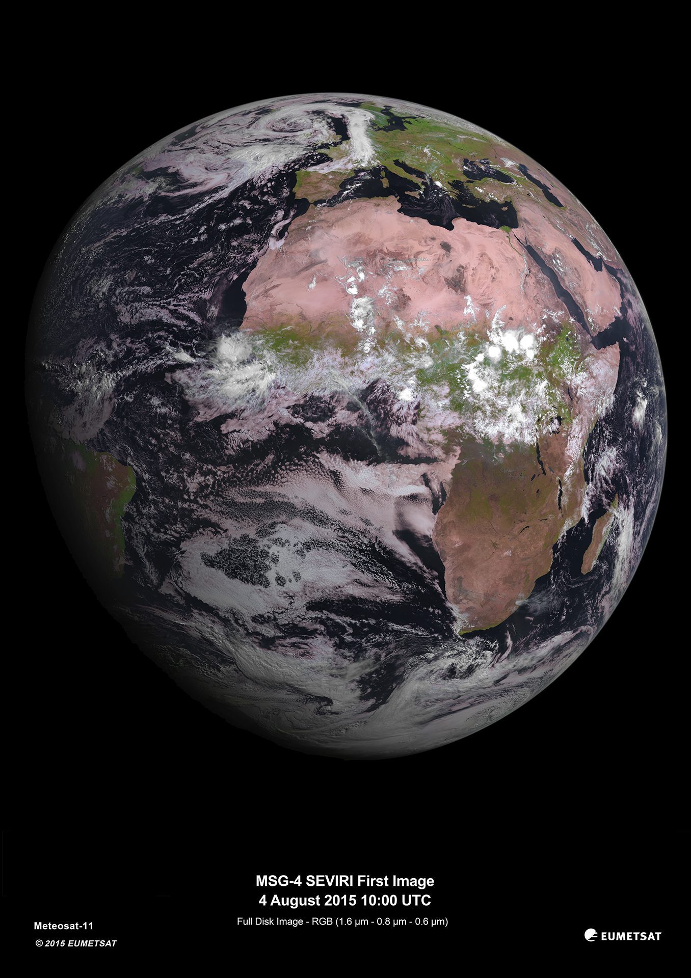
MSG-4 Weather Satellite Delivers First Image
On Aug. 4, 2015, the Spinning Enhanced Visible and Infrared Imager (SEVIRI) instrument on the MSG-4 satellite captured its first image of Earth.

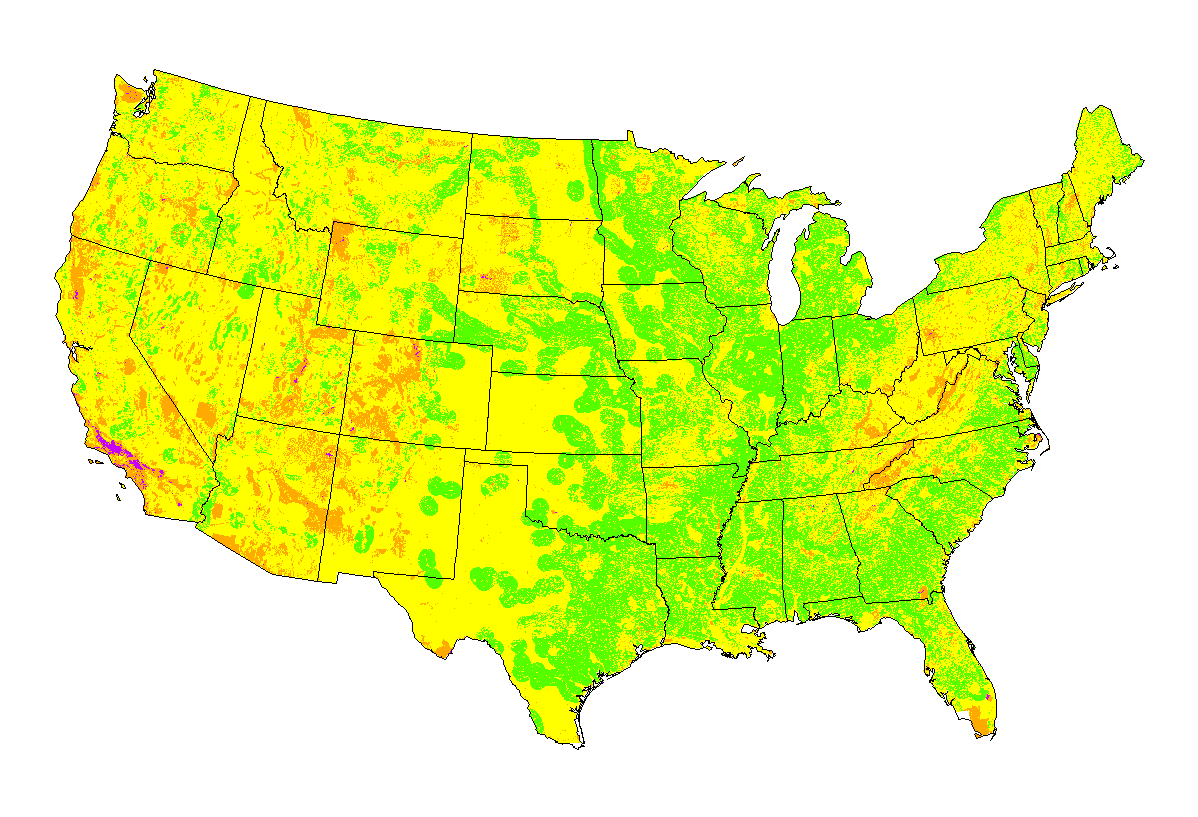
Scientists Use Remote Sensing to Map Suitability Areas for Solar Power Plants
Scientists at the Oak Ridge National Laboratory GIS and Technology Group used remote-sensing data to map suitable areas for concentrated solar power (CSP) plants.

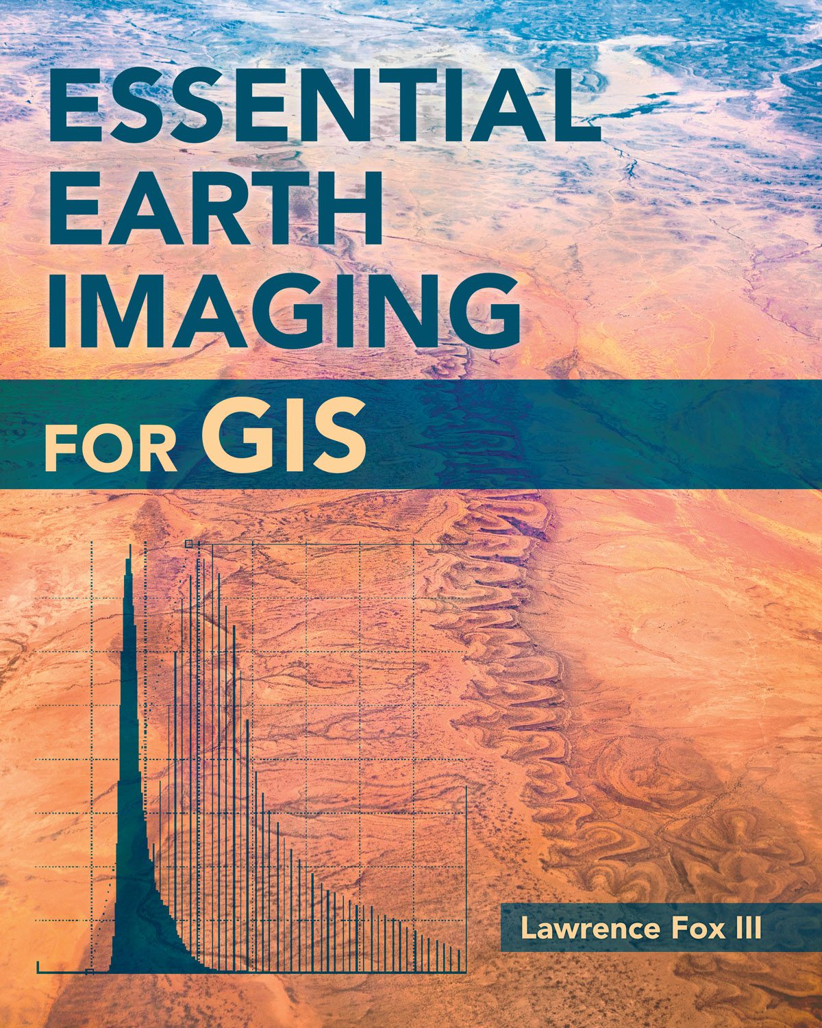
New Book Examines Earth Imaging for GIS
To familiarize GIS professionals and students with the advanced Earth-imaging technologies available today, Esri published Essential Earth Imaging for GIS, which provides a basic education in remote-sensing technology, promoting the effective use of sophisticated multispectral and 3D imagery.

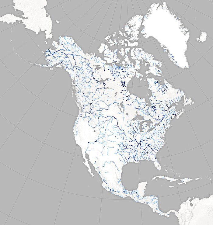
Satellites Help NASA Map Earth's Rivers
Scientists are swapping topographic maps for satellite images as part of a new NASA mission to create the first global inventory of Earth's surface waters.
Track Wildfires Across the Western US with Interactive Esri Maps
August 4, 2015 — Esri’s interactive Wildfire Public Information Map  and 2015 California Wildfire Activity Map are available for the media to share or embed as part of ongoing fire and weather coverage. Wildfire Public Information Map View continuously updated...

