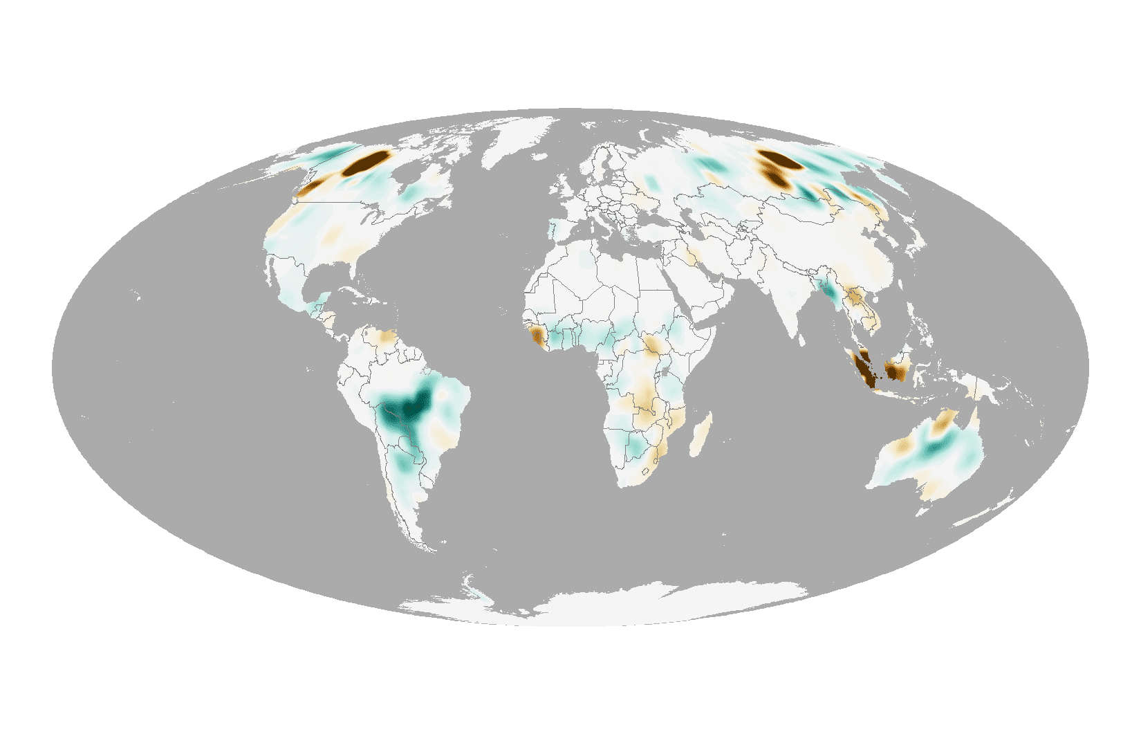
Taking Stock of 2014 Fire Emissions

Taking Stock of 2014 Fire Emissions

On a typical day in August, the Moderate Resolution Imaging Spectroradiometers (MODIS) on NASA's Aqua and Terra satellites detect approximately 10,000 active fires, as well as huge swaths of freshly charred land in ecosystems ranging from boreal forests to savanna to tropical forests.
MAPPS Accepting Entries for the 2015 Geospatial Excellence Awards

August 10, 2015 (Reston, VA) —  MAPPS, the association of private sector geospatial firms, is pleased to announce today it is accepting entries for the 9th Annual MAPPS Geospatial Products and Services Excellence Awards. The Excellence Awards exemplify the...

Launching Australia into Space

August 10, 2015 — Launching satellites into space could soon be easier and cheaper than ever before, thanks to research at The University of Queensland. UQ’s Centre for Hypersonics is planning a three-stage transformational space project called SPARTAN, designed...

Avenza Releases MAPublisher 9.6 for Adobe Illustrator

Toronto, ON, August 7, 2015 — Avenza Systems Inc., producers of the PDF Maps app for mobile devices and geospatial plug-ins for Adobe Creative Cloud, including Geographic Imager® for Adobe Photoshop®, is pleased to announce the release of MAPublisher 9.6 for...

NEWEST V1 MEDIA PUBLICATION

April Issue 2024