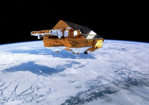
ESA's Earth Explorer CryoSat mission monitors changes in the thickness of ice sheets and floating marine ice. It also was found to accurately measure coastal sea levels. (Credit: ESA/AOES Medialab)
Scientists from the Norwegian University of Life Sciences report that the European Space Agency's CryoSat satellite and its radar altimeter can map coastal sea levels much closer than previous satellite-based methods.
Norway has the world's second-longest coastline (approximately 100,000 kilometers), comprising many islands, steep mountains and deep, narrow fjords. Such a rugged coastline often causes altimeters to produce inaccurate readings close to the coast, showing differences of 10 centimeters or more.
But CryoSat's results compare favorably with the Norwegian Mapping Authority's Stavanger tide gauge”within seven centimeters for CryoSat, contrasting with 10-15 centimeters for classical altimetry.
Conventional altimeters on satellites like Envisat and Jason-3 typically have 10-30 times larger footprints than the new altimeters on CryoSat and Sentinel-3, noted Ole Baltazar Andersen, senior scientist at the National Space Institute and DTU Space of Denmark.
