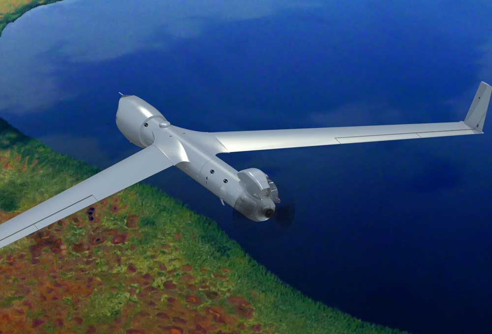
HAWTHORNE, Nev. - The Nevada Governor's Office of Economic Development (GOED) and the Nevada Institute for Autonomous Systems (NIAS) has teamed up with Microsoft's Unmanned Aerial System (UAS) research team to test Artificial Intelligence (AI) in their 16 ½ -foot,...

Geospatial Companies Join Forces to Fight Wildfires
Insitu, FireWhat and Esri partnered to help aerial reconnaissance for fighting wildfires. Insitu's INEXA Solutions professional aerial remote-sensing services group will work with FireWhat's fire professionals, using its GIS customized for firefighters and hosted on Esri's ArcGIS platform.
KDOT Unites with Strategic Partners for UAS
The Kansas Department of Transportation (KDOT) Division of Aviation visits Dallas, TX this week for the largest gathering of Unmanned Aerial Systems (UAS) industry leaders in the world at the Association of Unmanned Vehicle Systems International’s (AUVSI’s)...

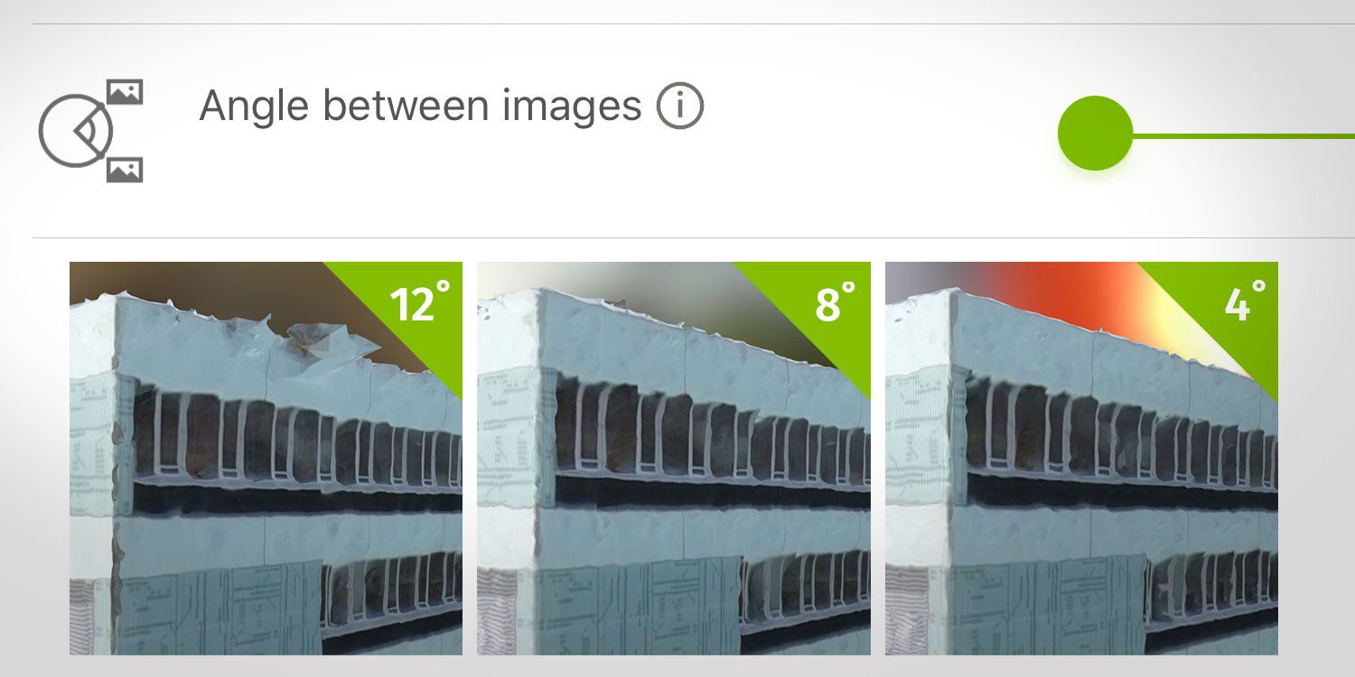
How Do I Choose the Correct Image-Capture Settings for 3D Models?
What are the effects of the angle between images setting in circular missions when it comes to 3D reconstruction?
Gilat Announces Availability of Ultra-Compact, High Throughput SATCOM Terminal for Unmanned Aircraft Systems (UAS)
PETAH TIKVA, Israel - Gilat Satellite Networks Ltd. (NASDAQ:GILT) (TASE:GILT), a worldwide leader in satellite networking technology, solutions and services, announced today the commercial availability of an ultra-compact airborne SATCOM terminal for unmanned aircraft...

Collaborative UAS Project Maps Great Sand Dunes National Park
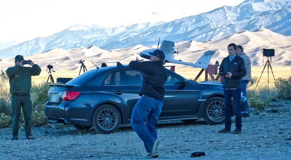
An innovative mapping project using unmanned aircraft systems within the Great Sand Dunes National Park and Preserve in south-central Colorado was completed by a collaboration among UAS Colorado, Black Swift Technologies, the National Park Service and Wohnrade Civil Engineers Inc.

FAA's Part 107 Rules Ease Some of the Challenges Faced by Commercial UAS Operators
Users of UAS aerial images must be open to the idea that legitimate UAS operators interested in complying with the law might not be able to fly the mission as planned due to operational restrictions imposed by the FAA.
Deveron Completes First Commercial Drone Flight in the United States
TORONTO, ONTARIOÂ -- Deveron UAS Corp. (CSE: DVR)(CSE: DVR.CN) ("Deveron" or the "Company"), is pleased to announce that it has completed its first commercial precision agriculture drone mission in the United States. After a successful grow season in Canada, the...

Trimble Sells UAS Business to Delair-Tech
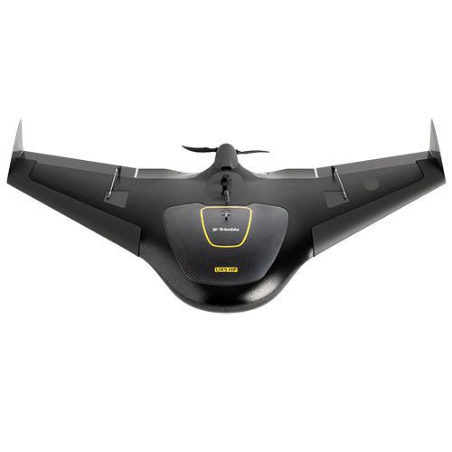
Trimble announced that Delair-Tech acquired its Belgium-based Gatewing Unmanned Aircraft System (UAS) engineering and manufacturing business. Delair-Tech intends to grow the acquired business as part of its portfolio. Financial terms were not disclosed. “This...
Quantum Spatial to Provide NOAA with Unmanned Aerial LiDAR and Imagery Acquisition Services
NORCROSS, GA – Quantum Spatial, Inc., the nation’s largest independent geospatial data firm, announced today that the company will be acquiring, processing and delivering high-resolution aerial LiDAR data and multispectral imagery data from an unmanned aerial...

