The image shows that the flood has washed away roads, including sections of U.S. Highway 34. Farmland and a few developed areas are under water. Heavy rain caused flooding across the Front Range of the Rocky Mountains starting on Sept. 11, and much of that water made its way into the South Platte River.

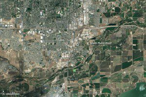
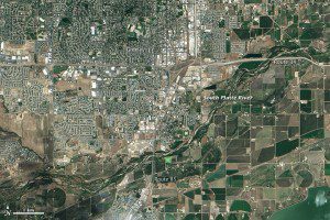
This Landsat 8 image collected on June 29, 2013, shows the South Platte River under normal conditions.
The river reached a record 18.79 feet in the early morning hours of Sept. 14. The previous record crest was 11.73 feet. Flood stage is 10 feet. As the water subsides in Colorado, it is expected to swell the river downstream in Nebraska.
Images courtesy of NASA.


