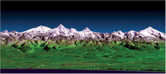
A perspective view shows the western side of the volcanically active Kamchatka Peninsula in eastern Russia. The image was generated using the first data collected during the Shuttle Radar Topography Mission.
The data benefit scientists, engineers, government agencies and the public with applications that range from land-use planning to virtual Earth exploration. NASA is currently using Shuttle Radar Topography Mission data to create an even better global topographic map by combining it with the more complete Advanced Spaceborne Thermal Emission and Reflection Radiometer global digital elevation model of Earth released last year by NASA and Japan's Ministry of Economy, Trade and Industry.
For more information on the Shuttle Radar Topography Mission, visit www.jpl.nasa.gov/srtm.

