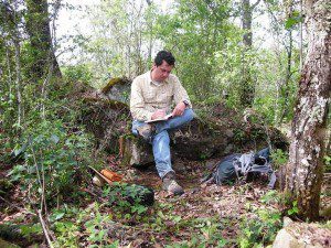
CSU anthropology professor Christopher Fisher takes notes while exploring the ancient city of Angamuco, Michoacan, Mexico.
Researchers used light detection and ranging (LiDAR) technology to identify more than 20,000 architectural features, including several small pyramids, a ball court and dwellings that housed more than 25,000 people.
On July 16, the Proceedings of the National Academy of Sciences ran a paper authored by five researchers from Colorado State University (CSU) and the University of Central Florida. The paper focuses on a shift in the archeological paradigm, a time when advances in technology are so far-reaching that they serve as catalysts in transforming our understanding of both the past and the practice of archaeological research, according to the paper.
For years, archeological discovery has come when boots hit the ground, maps are in hand and people probe areas sometimes obscured by dense forests or buried beneath sand. But technology has allowed explorers to move from the second and into the third dimension”a concept that could make more detailed human records of the world.
As archaeologists, we've been hampered because we've only been able to document in 2-D, said CSU anthropology professor Christopher Fisher. These new technologies allow us to record in 3-Dthe same way we experience the world. The paper advocates the use of LiDAR technology. And in Fisher's case, he and fellow CSU co-author Stephen Leisz are using it to map a long-lost city in Mexico.
Image courtesy of Christopher Fisher.

