Supergeo Technologies Inc., the worldwide leading GIS software and solution provider announces that SuperPad, the multifunctional mobile GIS software, has been chosen to assist with environmental management in the Philippines.
Located in the provincial capital, Bacolod, the regional authority for environmental management in Negros Occidental Province has a core mission to protect and preserve the precious natural resources in Negros Occidental, including two protected forest areas, two marine reservations, and various flora and fauna within this area.
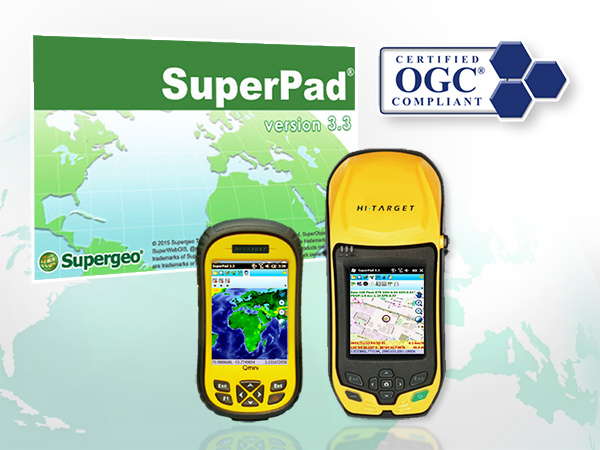
Continuously developed by Supergeo, SuperPad is a reliable and affordable mobile GIS application for both Windows Mobile OS and Windows OS. To help perform field work more efficiently, SuperPad has many practical features such as on-the-fly map projection, cloud solution, and sub-meter precision. With on-the-fly map projection, field workers can overlay maps without converting the map projection, saving a lot of time. SuperPad users can also synchronize the collected data instantly with colleagues by using SuperGIS Server, minimizing the resources spent on communication. Furthermore, by activating NTRIP solution, SuperPad allows users to collect spatial data with sub-meter precision, reducing the necessity to carry heavy surveying equipment. For environmental monitoring tasks, field workers can easily collect high precision data, check other information, and collaborate with colleagues all by using SuperPad and integrated Supergeo software solutions.
Download a free trial of SuperPad:
http://www.supergeotek.com/download_6_mobile.aspx
Find more practical features of SuperPad:
http://www.supergeotek.com/productpage_SP3.aspx?Type=Key%20Features