Supergeo is pleased to announce that the full-featured mobile GIS software, SuperPad, was earlier selected by the Fondasol as the GIS data collector in field works. Established in 1958, France, Fondasol has been a professional consulting firm focused on various geo-related engineering for almost six decades and provided diverse services from soil sounding before construction to geotechnical diagnosis after construction. Now, it has more than a hundred professional engineers and many branches in France, Belgium, Luxembourg, and other countries.
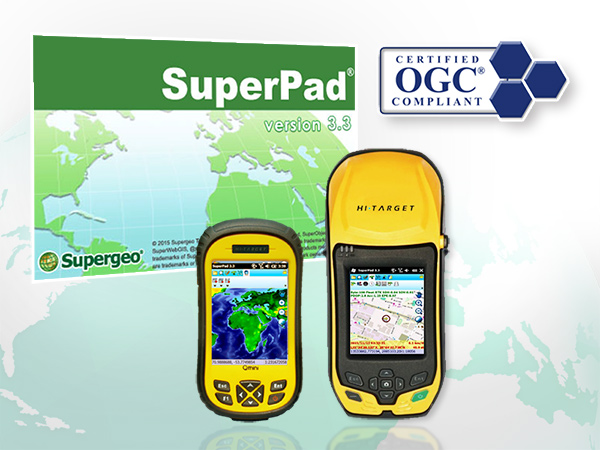
SuperPad is the top choice for companies that need to conduct field works frequently. Developed by Supergeo Product Team for years, SuperPad is a stable, affordable, and full-function GIS application designed for Windows and Windows Mobile OS. And except meeting the basic GIS needs from various field works, SuperPad is equipped with many practical features, like OGC formats support (WMS, WMTS, and WFS), on-the-fly projection, and real-time synchronization by using SuperGIS server, which can significantly save the time and enhance fieldwork efficiency. Furthermore, to bring a high precision solution for field workers, Supergeo is recently working with Hi-Target and has accomplished some adjustments. By using the combination of SuperPad and Hi-Target V100 GNSS RTK, users can collect spatial data that errors are controlled within 50 centimeters in the testing scenario. Therefore, users can utilize the high precision data and simplify the workflows of field works.
Drop us an email to get the latest info and the trial of this solution:
[email protected]
Learn more about the features of SuperPad:
http://www.supergeotek.com/productpage_SP3.aspx?Type=Key%20Features