Vector tiles are a good way to manipulate your vector data through the internet. It helps users to display and use a large quantity of detailed vector data while maintaining excellent performance. Now the Cache Generator in the SuperGIS Desktop 10 beta version supports the generation of vector tiles. Simply assign the format as text/gml format, and follow the same process used to generate image tiles to produce decent vector tile output.
When viewed in SuperGIS Desktop, users are able to identify, select, query, and even label the vector data in the tiles, just like they are using a SHP or GEO file. They can also open up the attribute table and find the records they are interested in, and highlight them on the map.
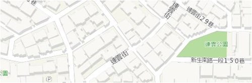
Vector tiles have obvious benefits when manipulating geospatial data compared to raster image tiles. Especially people recently want the data itself than the image representations of the data. Therefore, sharing vector data, in a convenient and efficient way has become an important issue. In the near future, SuperGIS Server will be able to publish vector tiles, and use JavaScript API to show them in the Ultra web application. With our API, users will be able to label vector tiles, and make a 2.5D map as shown in the figure below. These are just some of the possibilities of vector tile applications. Remember, that vector tiles give you the data itself. Therefore, you will be able to use them to do a lot of things more than visualization. Stay tuned for more information!