The global GIS software and geospatial solution provider, Supergeo Technologies Inc., announces that its GIS software for mobile, SuperPad, was selected to help watershed management by a local community in southwestern France.
Founded in 2013, the Communauté de Communes Cotes Landes Nature is a federation formed by ten municipalities around the town Castets, southwestern France. By integrating limited resources of these towns together, this federation can govern and develop this region more comprehensively, such as planning new highways, promoting tourism, or supporting innovative business. Since the region nearby Castets is full of ponds and rivers, one important project of this community is to manage the rivers for avoiding floods and improving the water quality.
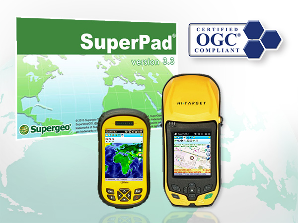
Developed by Supergeo product team for years, SuperPad is a stable and affordable mobile GIS platform for Windows OS and Windows Mobile OS. Except basic functions like spatial data collection and editing, SuperPad also supports NTRIP solution that allows field workers to reach sub-meter precision without bringing heavy equipment. Also, various OGC service formats (WMS/WMTS/WFS) can be easily connected via the internet to SuperPad, eliminating the costs and time spent on data preparation. These great features can help the river management team to survey the topography of watersheds and import historical data of floods with efficiency, resulting in a smart and integrated solution.
Find more features of SuperPad:
http://www.supergeotek.com/ProductPage_SP3.aspx
Try SuperPad free trial now:
http://www.supergeotek.com/download_6_mobile.aspx