Satellites Identify Unplanned Urbanization

Satellites Identify Unplanned Urbanization

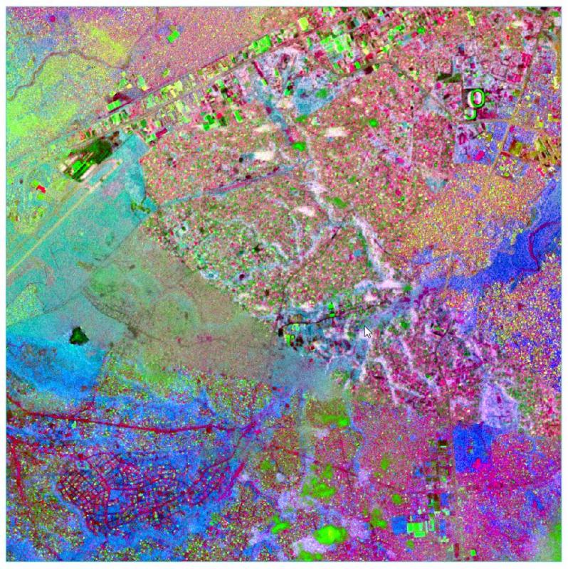
East View Geospatial is teaming with Planet and the World Bank to identify unplanned urbanization in specific developing areas using satellite imagery. Starting in mid-2017, East View Geospatial will begin calculating and detecting change to the Floor Space Index...

Flair Act Introduced in Congress, MAPPS To Testify

The "Federal Land Asset Inventory Reform (FLAIR) Act of 2017", a bill to create a current, accurate federal inventory or "cadastre" of all federal land, has been introduced in the U.S. House of Representatives and MAPPS has been invited to testify at the bill's...

NEWEST V1 MEDIA PUBLICATION

April Issue 2024