Manassas, VA, November 8, 2017 – Boeing [NYSE: BA] completed the acquisition of Aurora Flight Sciences Corporation, a world-class innovator, developer and manufacturer of advanced aerospace platforms and autonomous systems. Aurora will operate under Boeing...
Sentera Sensors Transform DJI Inspire 2 Drone Into Indispensable Crop-scouting Tool
MINNEAPOLIS - Sentera announced today availability of gimbaled Double 4k and Quad sensors for the popular DJI Inspire 2 drone. Sentera's swappable precision crop health sensors paired with the Inspire 2 offers agronomists, crop consultants, and growers an economical...
Digital Map Products Acquires Mexico Business Directory
IRVINE, Calif.-Digital Map Products, Inc. (“DMPâ€), a pioneer in geospatial mapping technology and intelligence, announces it has acquired Mexico Business Directory (“MBDâ€). Founded in 1995, MBD is the largest fully geocoded information database for business...
Ireland and Spain Elected to EuroGeographics Management Board
Europe’s National Mapping, Cadastre and Land Registry Authorities have elected representatives from Ireland and Spain to the Management Board of their membership Association, EuroGeographics. Colin Bray, Chief Executive Officer & Chief Survey Officer, Ordnance...
European Space Agency (ESA) Announces Overall Winner FFSCat at the Copernicus Masters 2017
Tallinn, Estonia - FFSCat – providing complementary data to the Sentinel fleet –wins the 2017 Copernicus Masters, the international competition on innovative solutions for business and society based on Earth observation (EO) data. Small satellites are a...
European Commission Supports Entrepreneurship with the Copernicus Accelerator
Tallinn, Estonia, 8 November 2017 – The Copernicus Accelerator business coaching programme, supported by the European Commission, accelerates the market entry of innovative space applications and products submitted to the EO competition Copernicus Masters. This...
Spoofing-Resistant UAV Application Wins Overall Prize of the European Satellite Navigation Competition 2017
Tallinn, Estonia – SORUS – a Global Navigation Satellite System (GNSS) powered safety application – wins the overall prize of the 2017 European Satellite Navigation Competition (ESNC), an international competition on innovative business solutions for society...
FLIR Announces FLIR CM275 Industrial Thermal Imaging Clamp Meter
WILSONVILLE, Ore. – FLIR recently announced that the FLIR CM275 industrial imaging clamp meter, which combines thermal imaging with electrical measurement features in one powerful inspection, troubleshooting, and diagnostic tool. Offering electricians a visual way...
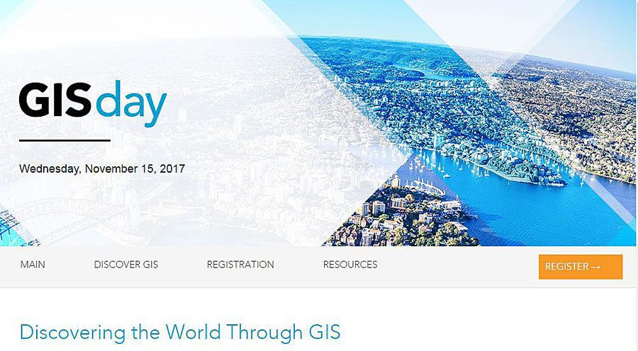
Get Ready for GIS Day!
What better way to celebrate GIS Day than to host or attend an open house or a workshop that demonstrates the power of mapping.
Bluesky LiDAR Data Used to Assess Flood Risk for Anglian Water
A sewer flood risk map of the Anglian Water region in the UK is being created by the Wastewater Consultancy team of RPS. The highly accurate 3D digital map showing land elevation has been created using LiDAR data collected by Bluesky’s aircraft mounted laser...
