The expanding software solution provider will leverage the platform to increase compliance and operational efficiencies for its clients and customers. DAYTON, Ohio (Oct. 14, 2019) — Woolpert was recently chosen by CareConnect, a software-as-a-service-based (SaaS)...
Blue Marble seeks presenters for its online geo-conference
Hallowell, Maine – Blue Marble Geographics ( bluemarblegeo.com) is calling for speakers for its annual online conference GeoTalks. The virtual event scheduled for March 18, 2020, is an opportunity for creative and innovative geospatial professionals and users of...
Orbit GT launches 3D Mapping Cloud v19.10
Orbit GT announces the launch of version 19.10 of 3D Mapping Cloud. “We keep on producing great new features and enhancements on our flexible and comprehensive cloud platform 3D Mapping Cloud,†says Peter Bonne, CEO of Orbit GT. “This release includes some very...
Precision Products Partners with Microdrones to Become a Distributer
Rome, NY - Rome, NY –PRECISION PRODUCTS, the leading supplier of data capture and positioning technologies to surveying and engineering professionals throughout Southern Indiana, Kentucky and Tennessee, is becoming a Distributor of Microdrones.  Available...
NSGIC Announces New Board Members; Wyoming’s Karen Rogers takes over as President
National States Geographic Information Council (NSGIC) is proud to announce the appointment of five new members to its Board of Directors, as well as the full slate of officers and board members for the 2019 - 2020 term. Joining the Board of Directors are Karen Rogers...
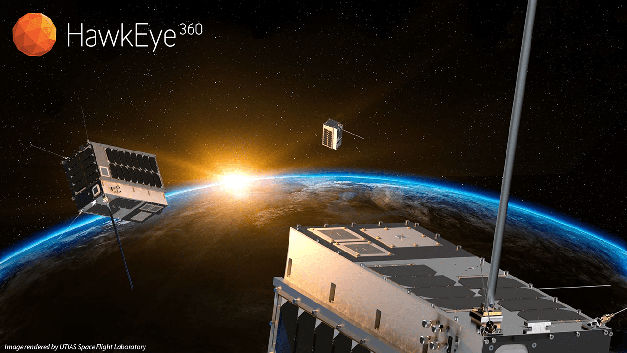
Key Technologies for Commercial Radio Frequency Signal Mapping with Small Satellites
Small satellite technology has ignited a revolution in Earth observation, enabling the launches of hundreds of imaging platforms into orbit in just the past few years.
SAM, LLC First in North America to Deploy Advanced Aerial Scanning Technology
SAM, LLC, a leader in providing geospatial data solutions, will be the first company in North America to acquire and deploy the most recent major advance in aerial scanning technology, the RIEGL VQ-1560 II. The sensor will be installed in SAM’s new fixed-wing...
RESPEC Releases GeoSequel® 2.15 With LabTools
RAPID CITY, S.D. - A global leader in smart mining solutions for the metals and mining sector, RESPEC Company, LLC, announces the release of GeoSequel® 2.15 With LabTools. GeoSequel®, https://www.respec.com/product/geosequel/, is a comprehensive application used...
Beyond Limits CEO AJ Abdallat Joins Board of Advisors for the Center for Autonomous Systems and Technologies (CAST) at Caltech
GLENDALE, Calif. -Â Beyond Limits, a leading developer of advanced artificial intelligence (AI) solutions, today announced its CEO AJ Abdallat has joined the Board of Advisors for the Center for Autonomous Systems and Technologies (CAST) at Caltech. CAST is a facility...
URISA Leaders Recognized at GIS-Pro 2019
Nearly 500 GIS professionals - from 42 states (plus Puerto Rico and the District of Columbia), 7 Canadian provinces, and 7 countries - recently convened in New Orleans, Louisiana for GIS-Pro 2019. One of the highlights of the conference was the Awards Luncheon, during...
