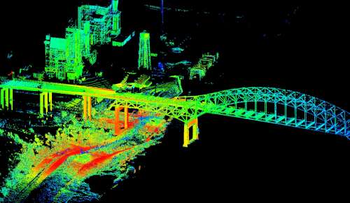
U.S. Geological Survey scientists are employing terrestrial light detection and ranging technology to map urban flooding caused by Hurricane Isaac.
U.S. Geological Survey scientists are employing terrestrial light detection and ranging technology to map urban flooding caused by Hurricane Isaac.
