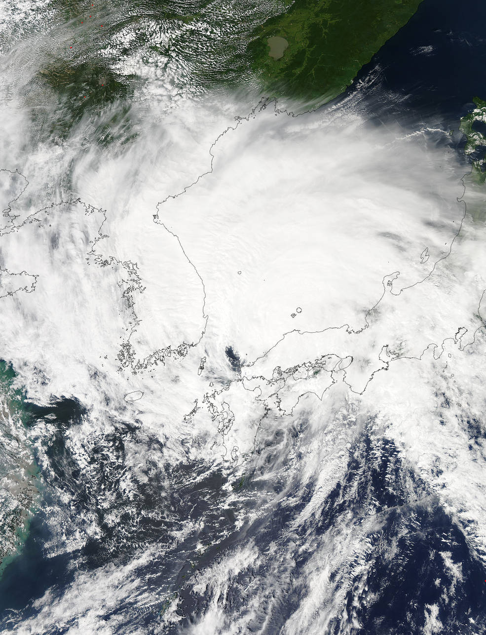
On Aug. 25, 2015, the Moderate Resolution Imaging Spectroradiometer (MODIS) instrument aboard NASA's Aqua satellite captured a visible picture of Typhoon Goni after it moved out of the East China Sea and north into the Sea of Japan. The MODIS image also showed that the storm's western quadrant was over North Korea and South Korea, while the eastern quadrant stretched over most of the big island of Japan.