July – August 2016 Table of Contents

July – August 2016 Table of Contents

For what SmallSats lack in size, they more than make up for in quantity and breadth of coverage, and that goes beyond just their physical dimensions. Along with unmanned aerial systems (UASs or drones), SmallSats (which have several related subsets such as cubesats, nanosats, microsats and others) seem to dominate headlines and conversations in Earth-observation industries and media.

May – June 2016 Table of Contents

May – June 2016 Table of Contents

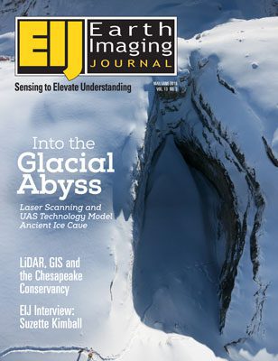
Working in difficult and frozen conditions 3,000 meters above sea level, with only a small time window due to changing weather and potentially melting surroundings, explorers, photographers and scientists used a laser scanner, an unmanned aerial system (UAS) vehicle and cameras to map out The Abyss of Cenote, one of the largest glacial caves in the Italian Dolomites.

September – October 2015 Table of Contents

September – October 2015 Table of Contents

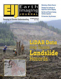
LiDAR data”if collected, analyzed and disseminated to local residents and policy makers”can be invaluable in mapping landslide hazards. In turn, such mapping can greatly help mitigate the consequences of landslides. After the Oso disaster, interest in landslide hazards grew significantly in Washington as well as Oregon, California and other mountainous states.

July – August 2015 Contents

July – August 2015 Contents

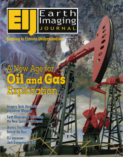
Remote sensing and associated technologies for oil and gas (O&G) applications aren't new”they've been around for several decades. However, above surface information hasn't been widely used in the last 30-40 years of O&G exploration and operations; sub-surface analyses have been more pervasive for several reasons.

NEWEST V1 MEDIA PUBLICATION

April Issue 2024