Click the above link to see the top stories from the last few months (in terms of traffic on the Earth Imaging Journal Web site). These listing categories reflect key coverage areas of this publication.
September – October 2015 Table of Contents
LiDAR data”if collected, analyzed and disseminated to local residents and policy makers”can be invaluable in mapping landslide hazards. In turn, such mapping can greatly help mitigate the consequences of landslides. After the Oso disaster, interest in landslide hazards grew significantly in Washington as well as Oregon, California and other mountainous states.
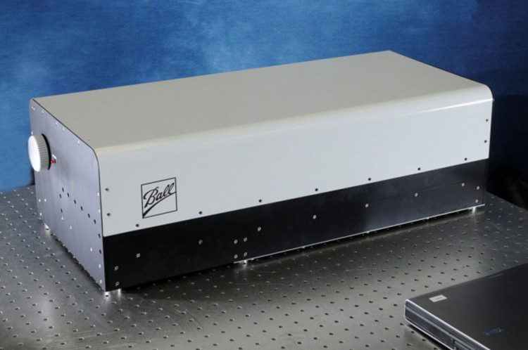
SENSOR SPOTLIGHT: TotalSight Flash LiDAR from Ball Aerospace
Ball Aerospace has been actively developing its TotalSight Flash LiDAR system for the last six years. Flash LiDAR works much like a traditional digital camera, with the sensor taking a range and intensity snapshot with each laser pulse.
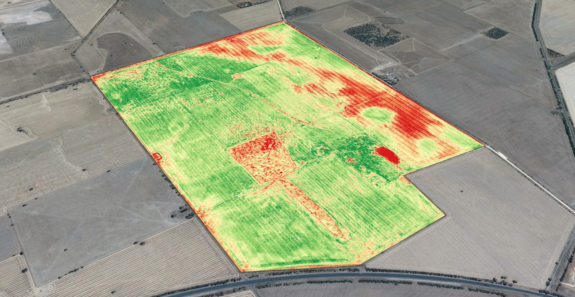
Drones and New Applications for Precision Agriculture
Basic crop scouting from drones provides a major improvement over how field surveys previously were done, and it's the primary driver for drone-technology adoption. Crop scouts traditionally were employed to walk farm fields to monitor crop condition. This is hot, time-consuming work, and crop scouts have difficulty visiting even a small percentage of a whole field, easily missing problem areas.
