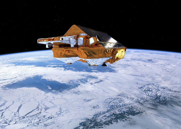
Scientists from the Norwegian University of Life Sciences report that the European Space Agency's CryoSat satellite and its radar altimeter can map coastal sea levels much closer than previous satellite-based methods.
Scientists from the Norwegian University of Life Sciences report that the European Space Agency's CryoSat satellite and its radar altimeter can map coastal sea levels much closer than previous satellite-based methods.
