Mysteries of Wobbling Earth Solved

Mysteries of Wobbling Earth Solved

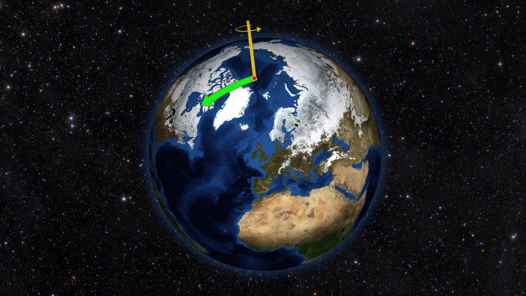
Using satellite data on how water moves around Earth, NASA scientists solved two mysteries about wobbles in the planet’s rotation. Earth's spin axis drifts slowly around the poles; the farthest away it has wobbled since observations began is 37 feet (12 meters). These wobbles don't affect daily life, but they must be taken into account to get accurate results from GPS, Earth-observing satellites and ground-based observatories.
OMG Measuring Greenland's Seafloor

OMG Measuring Greenland's Seafloor

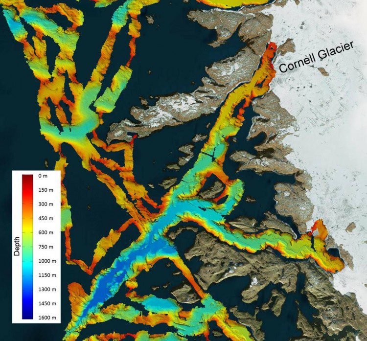
NASA's Oceans Melting Greenland (OMG) field campaign is gathering data that will help scientists understand how the oceans are joining with the atmosphere to melt the vast ice sheet as well as predict the extent and timing of the resulting sea-level rise.

March Snowfall across European Alps

March Snowfall across European Alps

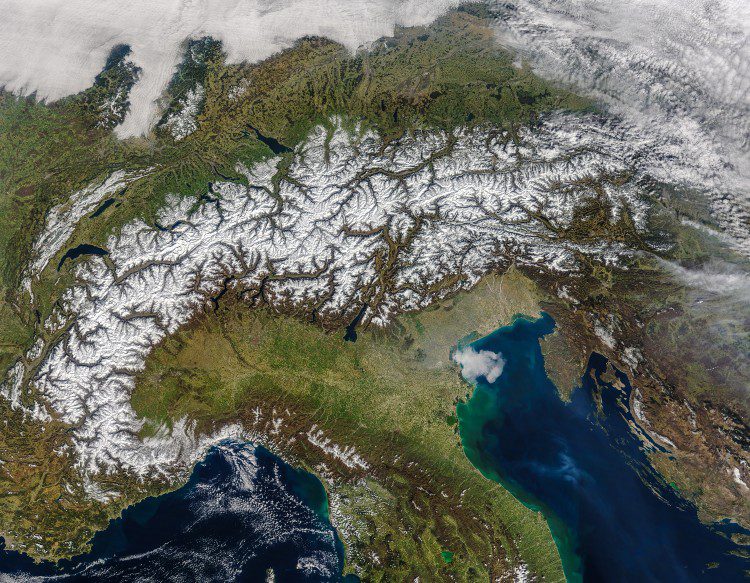
The European Alps stretch 1,200 kilometers (750 miles) across eight countries, and it's the longest mountain chain situated entirely within Europe. The Alps include more than 100 peaks higher than 4,000 meters (13,000 feet), and this image from NASA's Moderate Resolution Imaging Spectroradiometer (MODIS) on its Terra satellite beautifully captures a recent snowfall across the region.

Atmospheric River Storms Can Reduce Sierra Snow

Atmospheric River Storms Can Reduce Sierra Snow

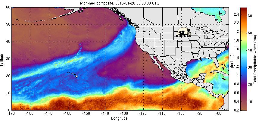
A new study by NASA and several partners found that in California's Sierra Nevada, atmospheric river storms are two-and-a-half times more likely than other types of winter storms to result in destructive rain-on-snow events, where rain falls on existing snowpack, causing it to melt.

Students Select EarthKAM Imagery Sites

Students Select EarthKAM Imagery Sites

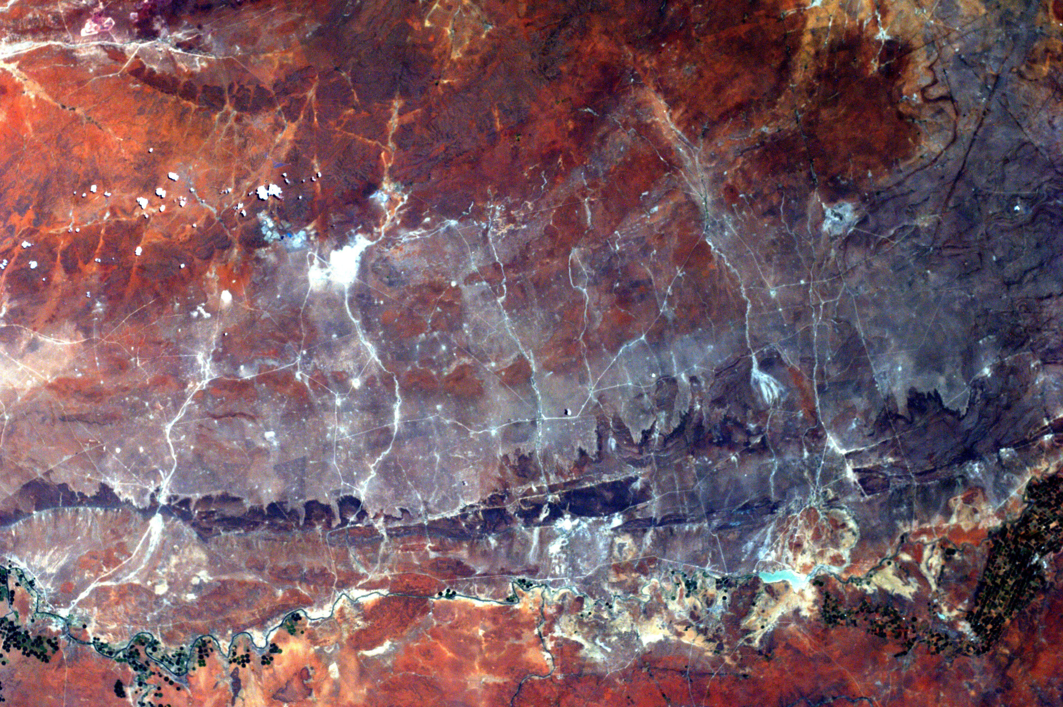
Students participating in NASA's EarthKAM program can request photographs of specific Earth features, such as this image of South Africa, which are taken by a special camera mounted on the International Space Station when it passes over those features.

Sentinel Data Wanted

ESA has agreed with NASA, the National Oceanic and Atmospheric Administration (NOAA) and the US Geological Survey (USGS) to make data available to them from the European Sentinel satellites. With the third Copernicus satellite, Sentinel-3A, recently launched, ESA has...

Landsat Satellite Spots Sunken Ships

Landsat Satellite Spots Sunken Ships

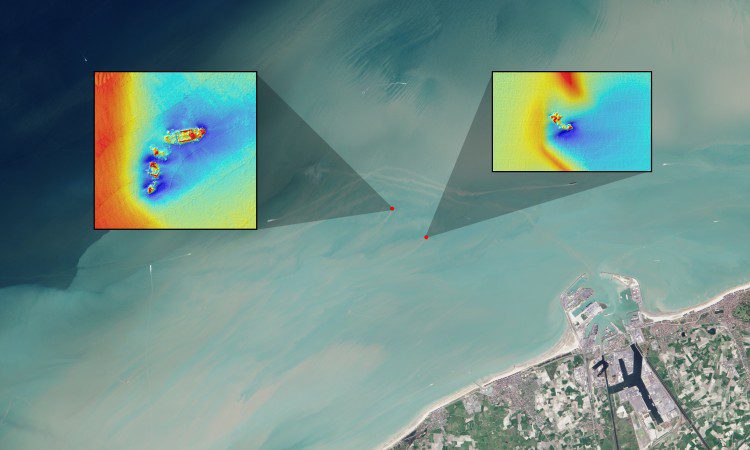
Using data from the NASA/USGS Landsat 8 satellite, researchers have detected sediment plumes extending as far as four kilometers downstream from shallow shipwreck sites, demonstrating how satellites may be used to locate the watery graves of coastal shipwrecks.

Eclipse Casts Shadow on Earth

Eclipse Casts Shadow on Earth

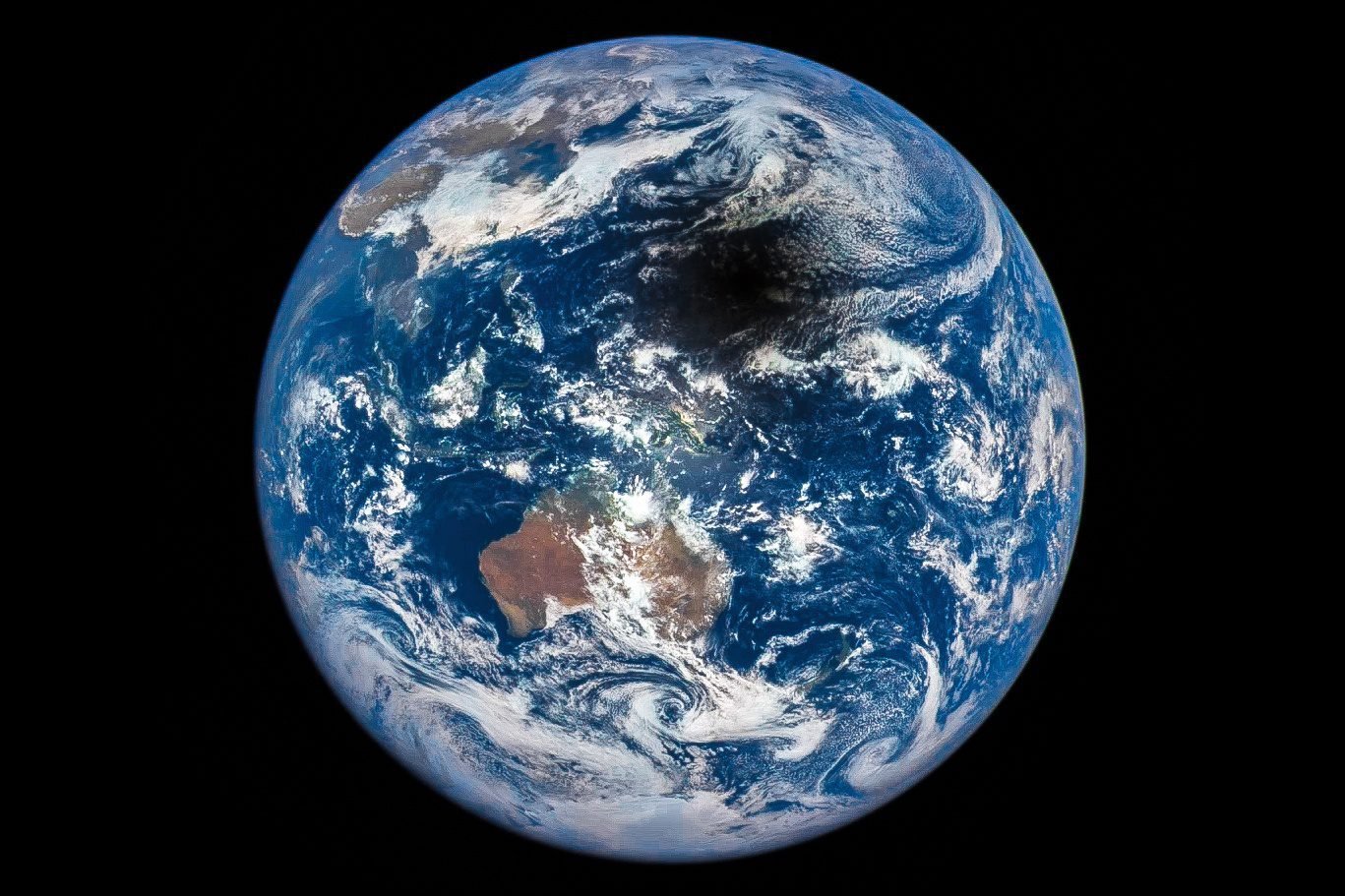
On March 9, 2016, and approximately 1 million miles from Earth, NASA's Deep Space Climate Observatory (DSCOVR) captured the shadow of the Moon moving across Earth's sunlit face.

NEWEST V1 MEDIA PUBLICATION

April Issue 2024