May – June 2016 Table of Contents

May – June 2016 Table of Contents

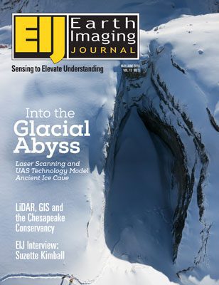
Working in difficult and frozen conditions 3,000 meters above sea level, with only a small time window due to changing weather and potentially melting surroundings, explorers, photographers and scientists used a laser scanner, an unmanned aerial system (UAS) vehicle and cameras to map out The Abyss of Cenote, one of the largest glacial caves in the Italian Dolomites.
NGA Continues Work to Remove Friction

NGA Continues Work to Remove Friction

Even before the National Geospatial-Intelligence Agency (NGA) renaming transformed the agency from the more-static-sounding National Imagery and Mapping Agency (NIMA), the organization was hard at work to speed and ease the workflow of turning raw images into insight. The organization has been at the technological forefront of exploiting imagery and continues to provide valuable information in a timely manner that impacts missions and lives.

Solar Eclipse Casts Moon Shadow on Earth

Solar Eclipse Casts Moon Shadow on Earth

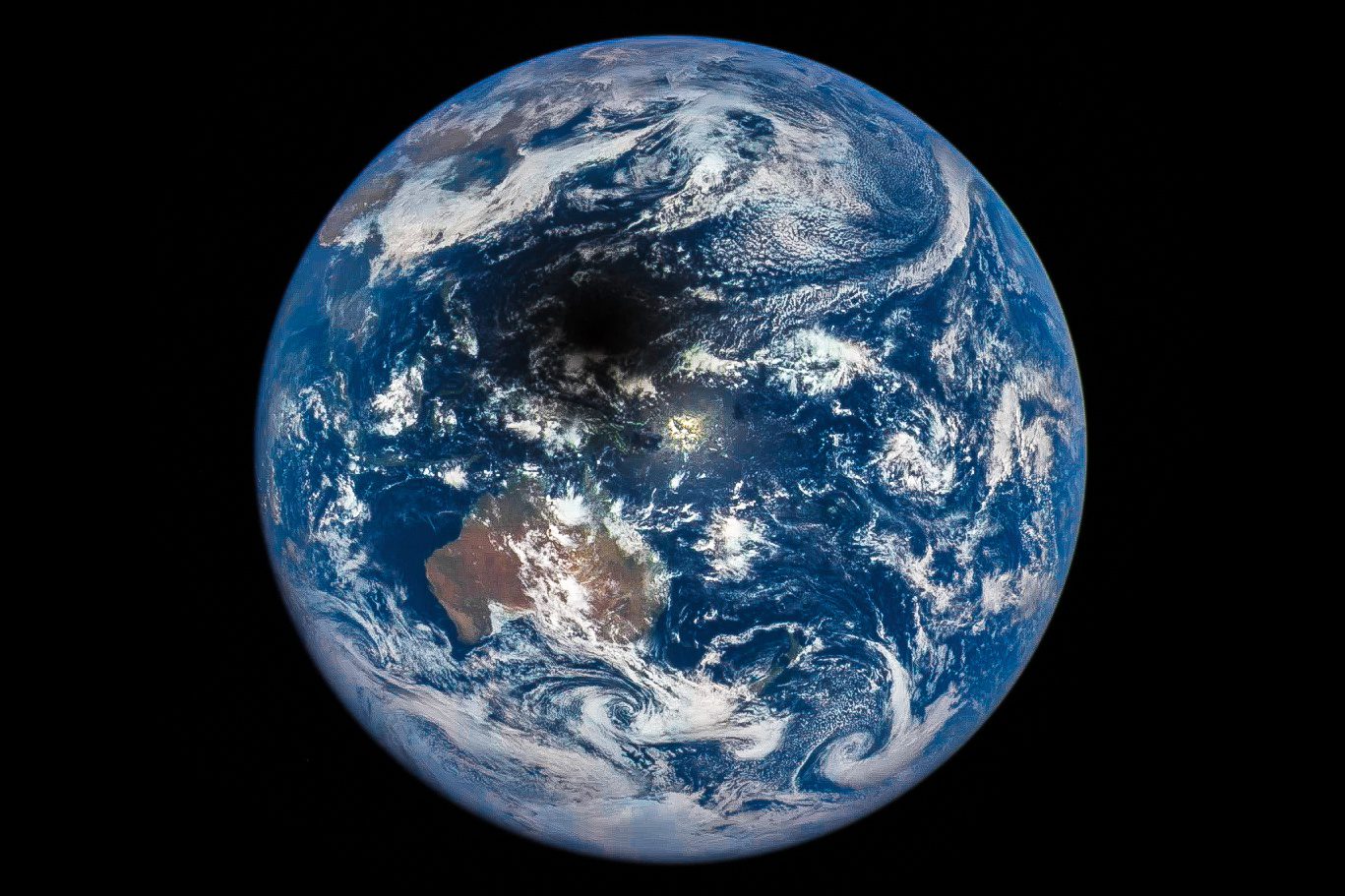
On March 9, 2016, and approximately 1 million miles from Earth, NASA's Deep Space Climate Observatory (DSCOVR) captured the shadow of the Moon moving across Earth's sunlit face. The only total solar eclipse of 2016 moved across the Indian Ocean and past Indonesia and Australia into the open waters and islands of Oceania and the Pacific Ocean.

LiDAR, GIS and the Chesapeake Conservancy: Making Precision Conservation Possible for All

LiDAR, GIS and the Chesapeake Conservancy: Making Precision Conservation Possible for All

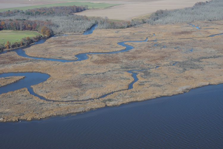
Building on the practice of precision agriculture and exploiting recent computer advances, the Chesapeake Conservancy (CC) is developing open-source geoprocessing and analysis tools that help environmental nonprofits and local-government agencies prioritize conservation and restoration decision making. From creating new, high-resolution land-cover data and flow-path analyses based on LiDAR elevation data to developing custom Web applications, it's giving partners with little or no expertise in GIS or complex modeling access to large-scale data and modeling produced by state and federal agencies as well as larger non-governmental organizations (NGOs).

Sensing for Scientific Understanding

Sensing for Scientific Understanding

V1 Editorial Director Matt Ball spoke with Suzette Kimball, USGS director, who has a PhD in environmental sciences with a specialty in coastal processes. The conversation touches on funding, sensing, mapping and public engagement.

Turning UAS Enthusiasm into Entrepreneurial Innovation

Turning UAS Enthusiasm into Entrepreneurial Innovation

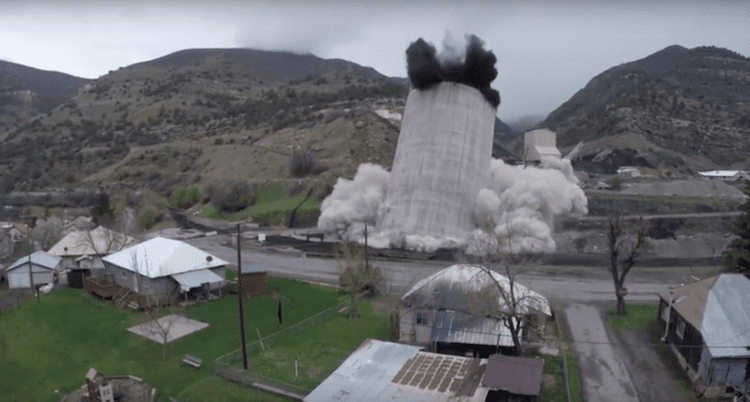
Steve Huntley is something of a character in Paonia, Colo., my hometown. Lately, his UAS videos of local scenes and events have been making a splash. His recording of the controlled demolition of the Oxbow Mining Silo was a big, if controversial, hit”the silo's local landmark status and association with the coal industry made its destruction a flashpoint for the region's progressives and conservatives.

NEWEST V1 MEDIA PUBLICATION

April Issue 2024