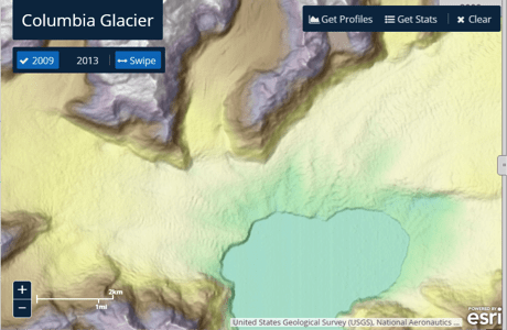
The U.S. National Geospatial-Intelligence Agency, the National Science Foundation (NSF), and the University of Minnesota's Polar Geospatial Center are collaborating to use high-resolution satellite imagery from DigitalGlobe, processed with NSF-supported advanced computing resources, to produce improved, publicly available Digital Elevation Models of Alaska by mid-2016 and the entire Arctic by the end of 2016.


