USGS Releases Landsat Analysis Ready Data

USGS Releases Landsat Analysis Ready Data

Improvements to the quality and usability of Landsat satellite data have been made with the release of a new USGS product called Landsat Analysis Ready Data (ARD), which will help reduce the time needed to process and analyze data and imagery, a significant advantage to scientists studying landscape changes, including changes from wildfires, hurricanes, vegetation cover, drought and other events.

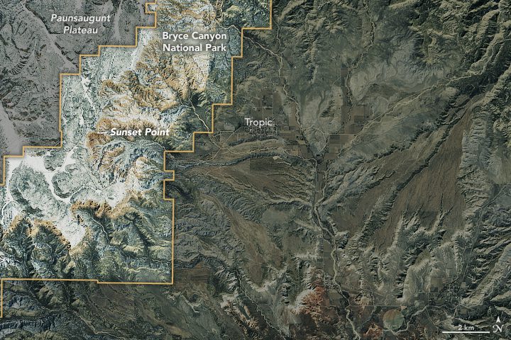
Utah's Snow-Covered Bryce Canyon

Utah's Snow-Covered Bryce Canyon

Utah's Bryce Canyon is not the deepest canyon in the United States; its largest amphitheater of naturally eroded rock drops 240 meters. Arizona's Grand Canyon, for comparison, measures more than 1,800 meters deep in places. But photographers who visit Bryce Canyon National Park typically aren't looking for dizzying heights and depth; they're often trying to capture images of the delicate spires called hoodoos that rise from the canyon.

Landsat Looks at Europe's Largest Glacier

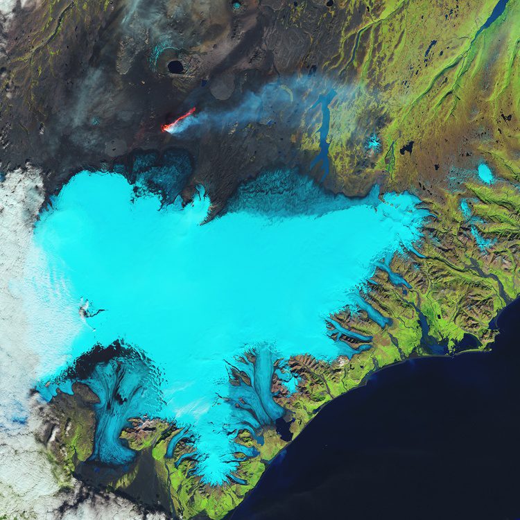
Landsat Looks at Europe's Largest Glacier

Glaciers cover 11 percent of Iceland's landscape, and the Vatnajökull (Vatna Glacier in English) is 8,000 square kilometers and the largest in Europe. The Landsat-8 satellite captured this false-color image over Iceland's southeastern coast and the Vatnajökull glacier.

Landsat Satellite Spots Sunken Ships

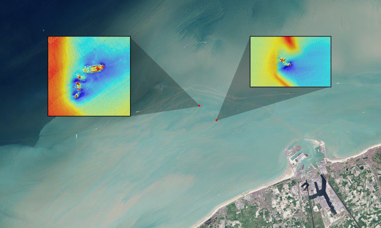
Landsat Satellite Spots Sunken Ships

Using data from the NASA/USGS Landsat 8 satellite, researchers have detected sediment plumes extending as far as four kilometers downstream from shallow shipwreck sites, demonstrating how satellites may be used to locate the watery graves of coastal shipwrecks.

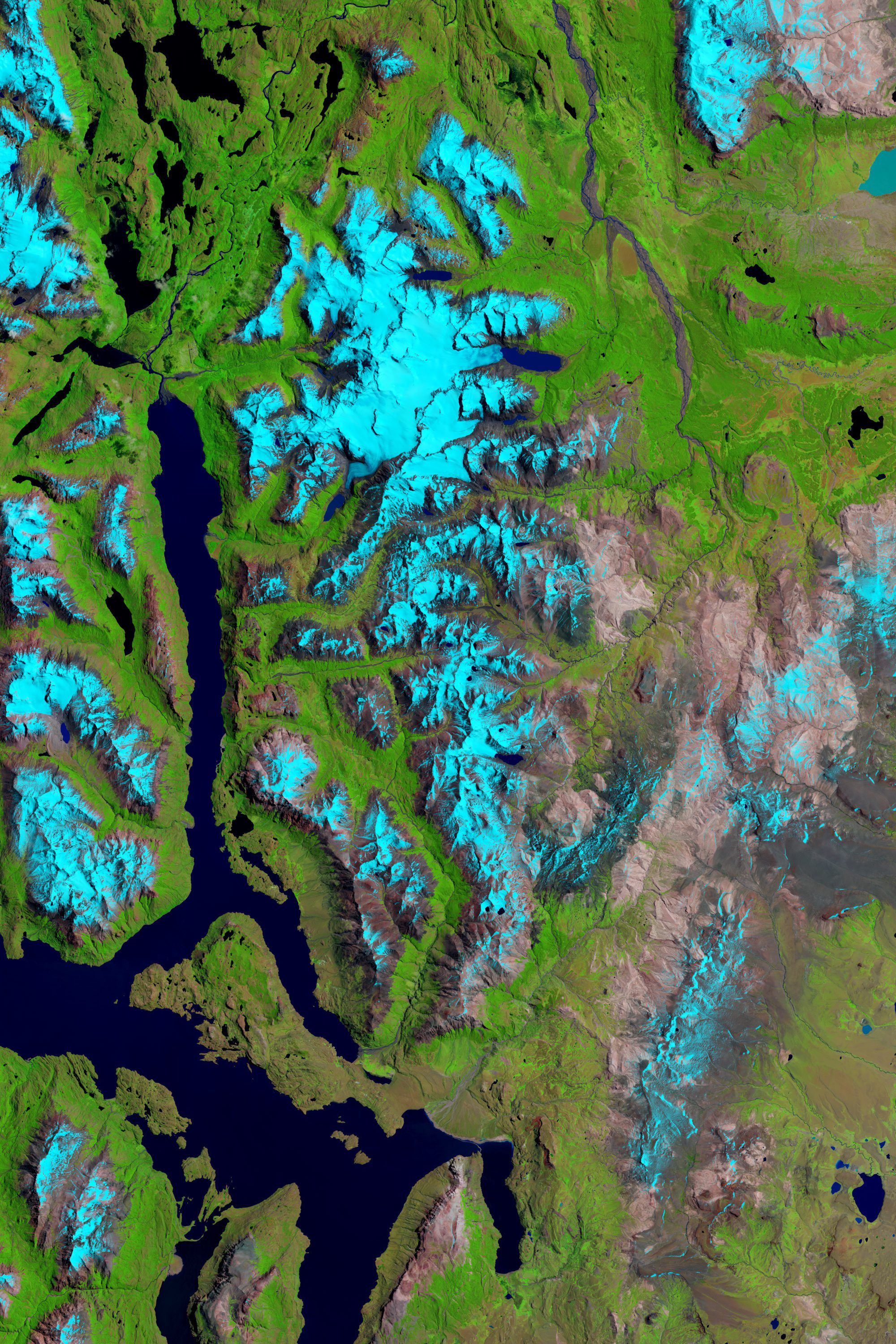
Patagonia Ice Fields Shrinking

Patagonia Ice Fields Shrinking

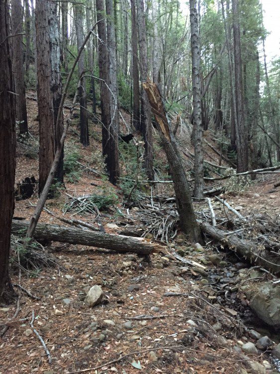
Reports and studies of shrinking glaciers and ice sheets in Greenland and Antarctica come in regularly, but an additional ice field can be added to the list: Patagonia, the mountainous area at the southern end of South America shared by Argentina and Chile.

Landsat Sees Eye of the Sahara

July 20, 2015 — Located near the western edge of the Sahara Desert, the Eye of the Sahara is a feature that resembles a large eye when viewed from space. Also known as the Richat Structure or Guelb er Richat, the Eye is a symmetrical dome of eroded sedimentary and...

Amazon Makes Landsat Data Even More Available

March 20, 2015 — As part of Amazon Web Services (AWS) commitment to White House’s Climate Data Initiative, the company announced today that 85,000 Landsat 8 scenes are now conveniently accessible in AWS Public Data Sets. Landsat, managed by U.S. Geological Survey...

NEWEST V1 MEDIA PUBLICATION

October Issue 2023