The European Space Agency (ESA) Copernicus Sentinel-3A satellite saw the temperature at the top of Hurricane Ophelia on Oct. 15, 2017, as the storm approached the British Isles.
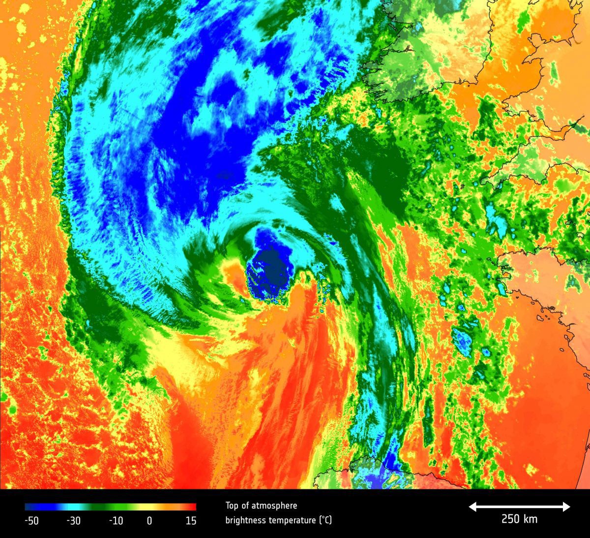
The European Space Agency (ESA) Copernicus Sentinel-3A satellite saw the temperature at the top of Hurricane Ophelia on Oct. 15, 2017, as the storm approached the British Isles.
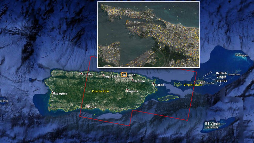
A NASA-produced map showing areas of eastern Puerto Rico that were likely damaged by Hurricane Maria has been provided to responding agencies, including the Federal Emergency Management Agency (FEMA).
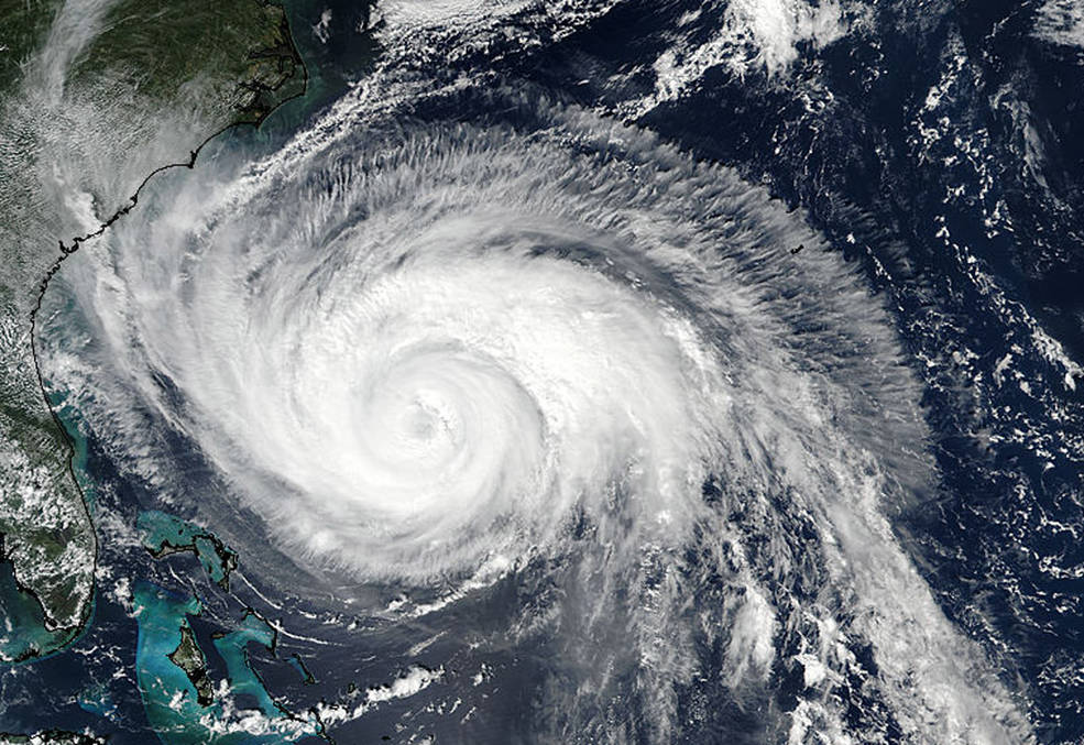
On Sept. 24, 2017, the VIIRS instrument aboard NASA-NOAA’s Suomi NPP satellite provided this visible image of Hurricane Maria when it was northeast of Bahamas and east of the Florida east coast.
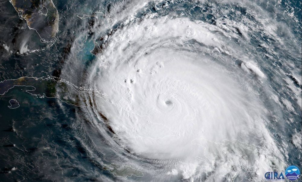
The NOAA satellite GOES-16 captured this geocolor image of Hurricane Irma passing the eastern end of Cuba at about 8:00 a.m. EDT on Sept. 8, 2017.

NASA-NOAA's Suomi NPP Satellite provided a night-time and infrared look at Hurricane Irma, revealing the power under the clouds. NASA's GPM also provided a look at the rainfall being generated by the storm.
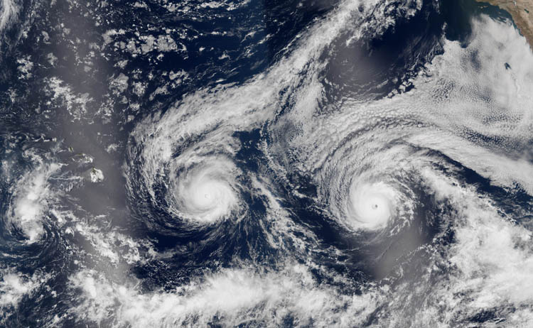
The island of Hawaii continued its decades' long streak of not being directly when Hurricanes Madeline and Lester, which at one point were considered threats for landfall, veered south and north, respectively.
