The U.S. Army is using TerraGo geospatial collaboration software to produce, access, update and share geospatial information and applications in support of warfighter efforts around the world.

The U.S. Army is using TerraGo geospatial collaboration software to produce, access, update and share geospatial information and applications in support of warfighter efforts around the world.
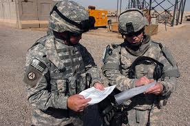
The U.S. Army is using TerraGo geospatial collaboration software to produce, access, update and share geospatial information and applications in support of warfighter efforts around the world.
