According to BI Intelligence, sales of drones will surpass $12 billion in 2021, and most of this will occur across the three main segments of the drone industry.


According to BI Intelligence, sales of drones will surpass $12 billion in 2021, and most of this will occur across the three main segments of the drone industry.
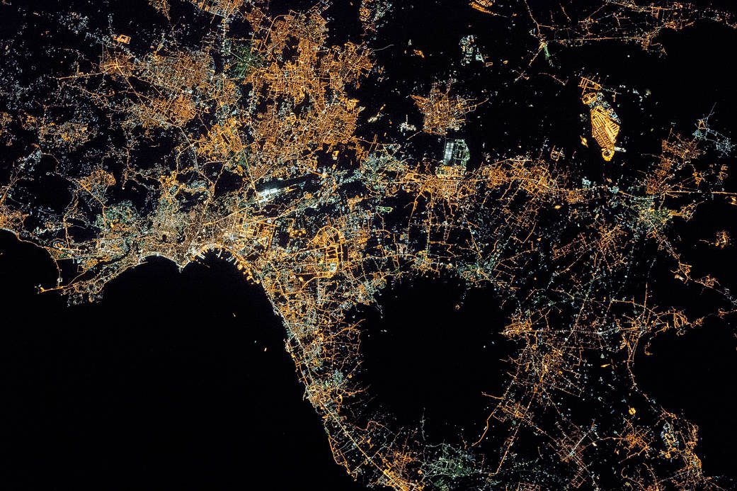
Crew aboard the International Space Station photographed the city lights of Naples and the Campania region of southern Italy. The Naples region is one of the brightest in the country; roughly 3 million people live in and around this metropolitan area.
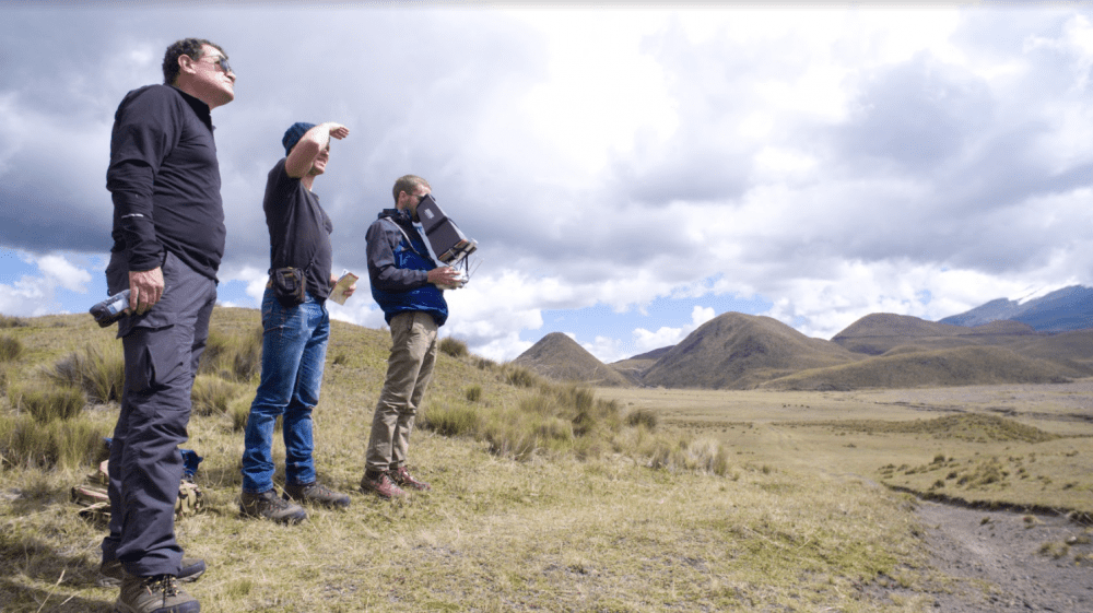
Drone mapping provides a fast, accurate and noninvasive way to document archeological sites, creating a historical record of a country's cultural heritage and giving archaeologists a rich set of data and models to be used for further research.

Flying hundreds of miles above Earth, astronauts aboard the International Space Station photographed Lake Hazlett and Lake Willis in Western Australia’s Great Sandy Desert.
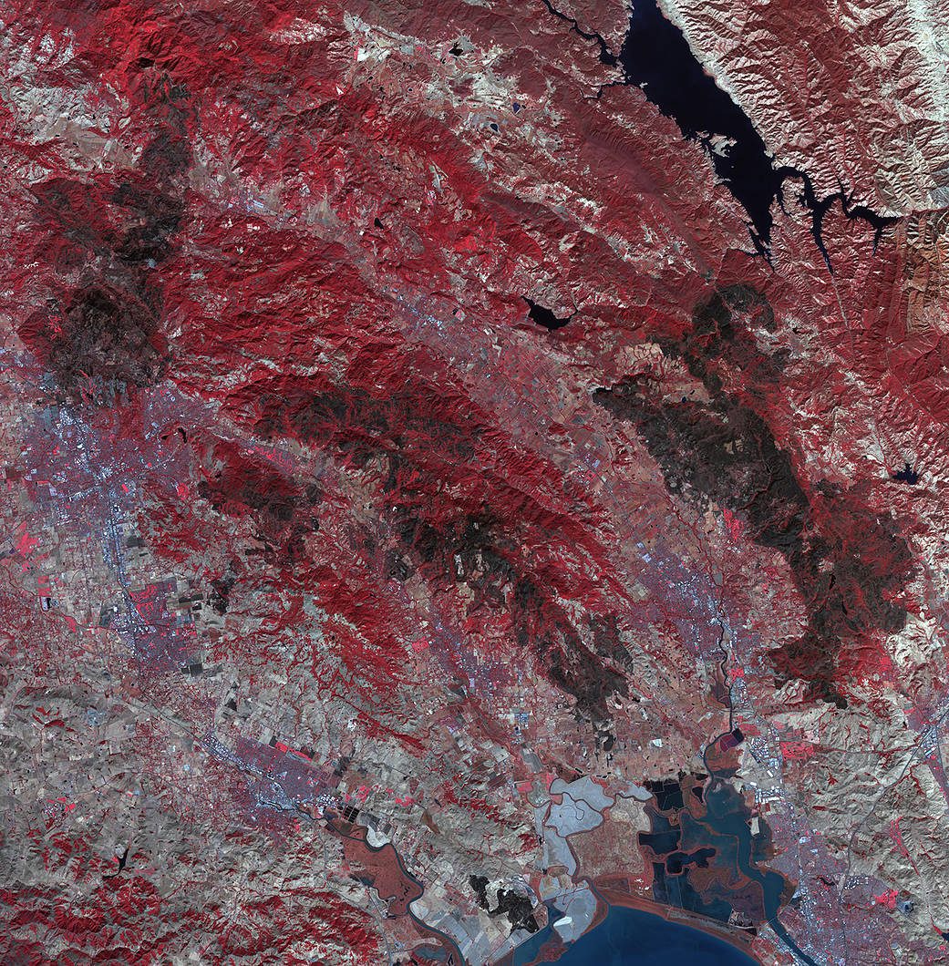
As firefighters continue to work toward full containment of the rash of wildfires burning in Northern California, a new image from the Advanced Spaceborne Thermal Emission and Reflection Radiometer (ASTER) instrument on NASA’s Terra satellite shows the growing fire scar on the landscape.

Looking down on the desert vistas of the southwestern United States, an astronaut took this photograph of a short section of the Colorado River.
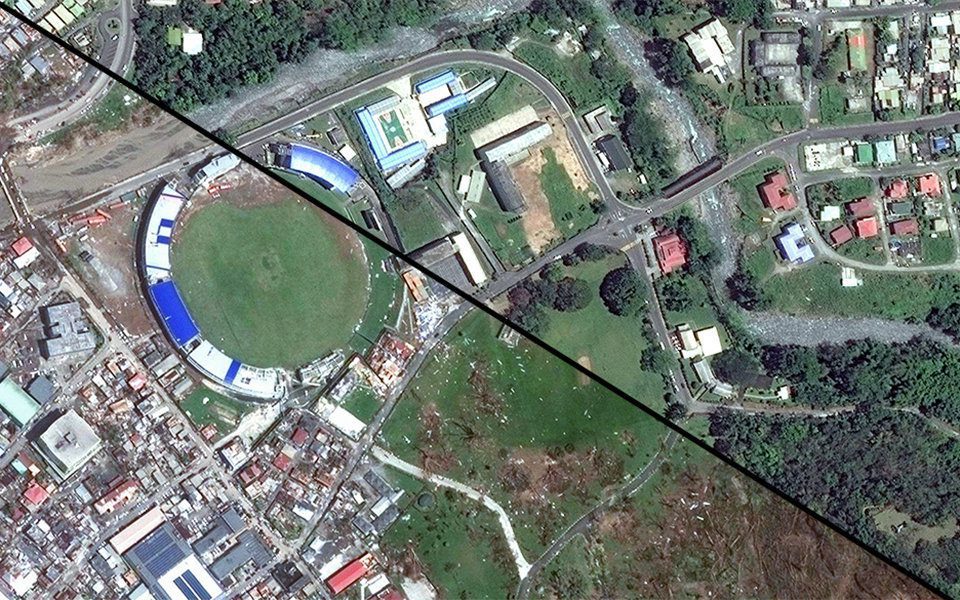
MacDonald, Dettwiler and Associates (MDA) completed its acquisition of DigitalGlobe. The newly combined company will offer a broader set of space-based solutions, increased scale and a more-diversified revenue base.
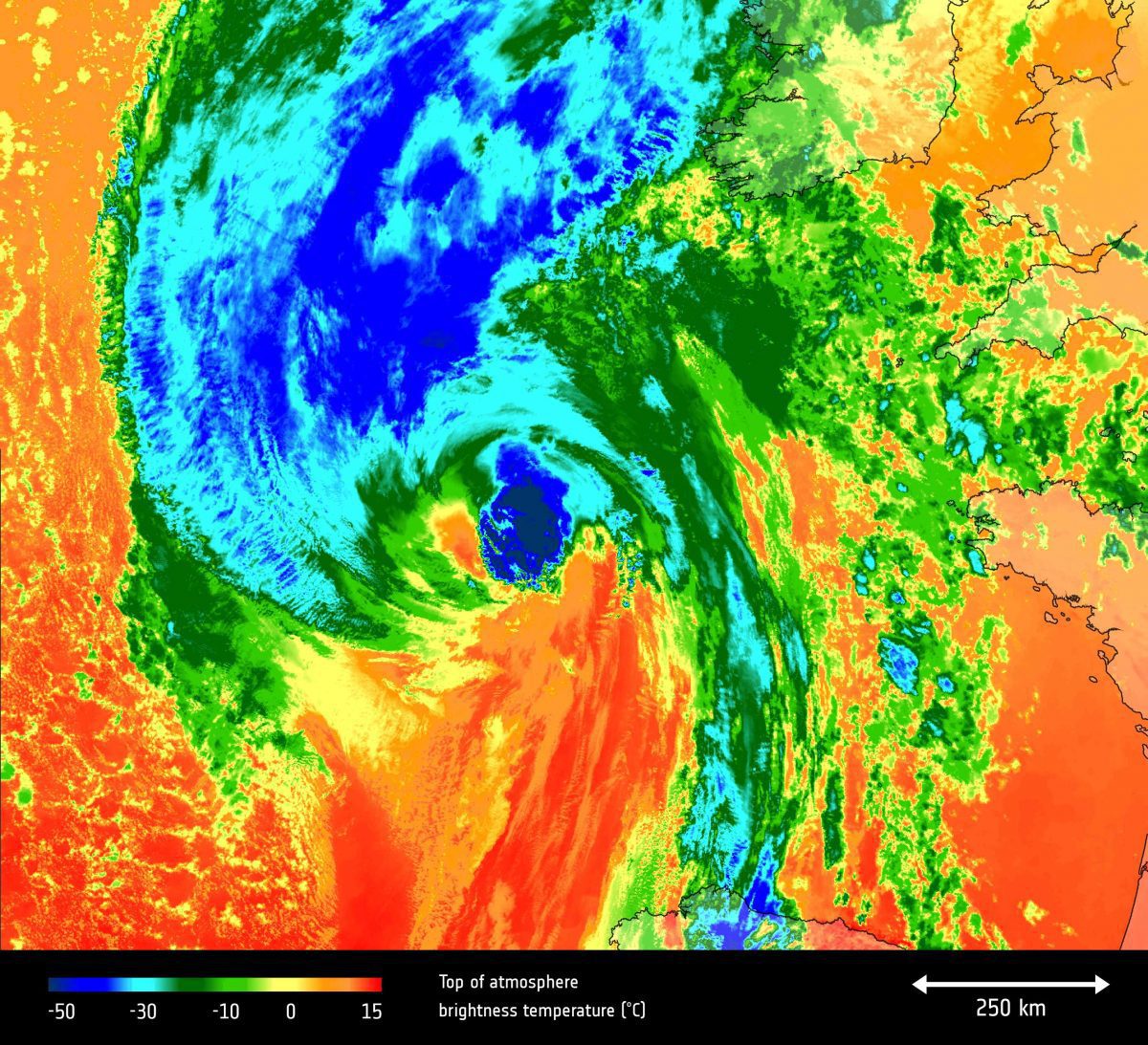
The European Space Agency (ESA) Copernicus Sentinel-3A satellite saw the temperature at the top of Hurricane Ophelia on Oct. 15, 2017, as the storm approached the British Isles.
Underground water reserves in California's Silicon Valley rebounded quickly from the state's recent severe drought, demonstrating the success of aggressive conservation measures, according to a new space-based study by NASA and university scientists.
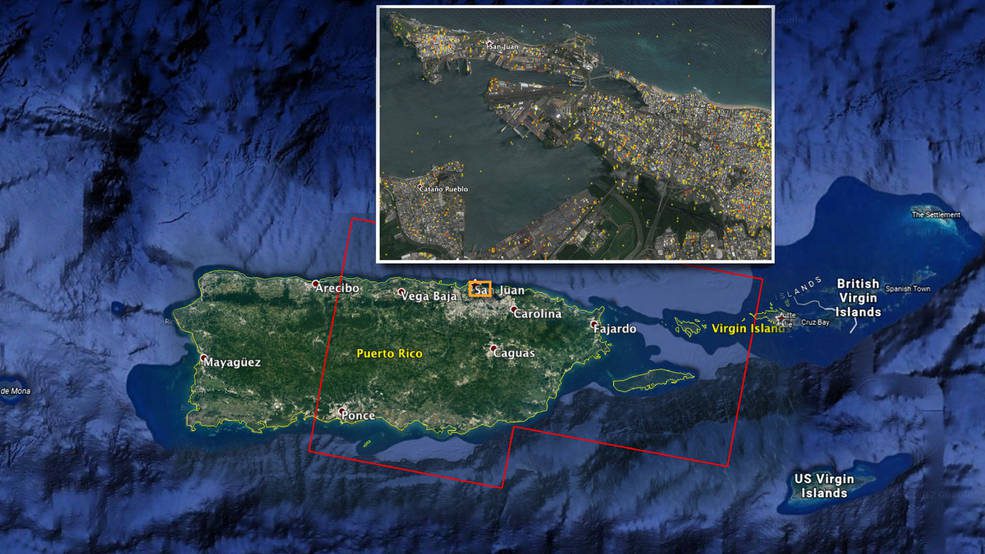
A NASA-produced map showing areas of eastern Puerto Rico that were likely damaged by Hurricane Maria has been provided to responding agencies, including the Federal Emergency Management Agency (FEMA).