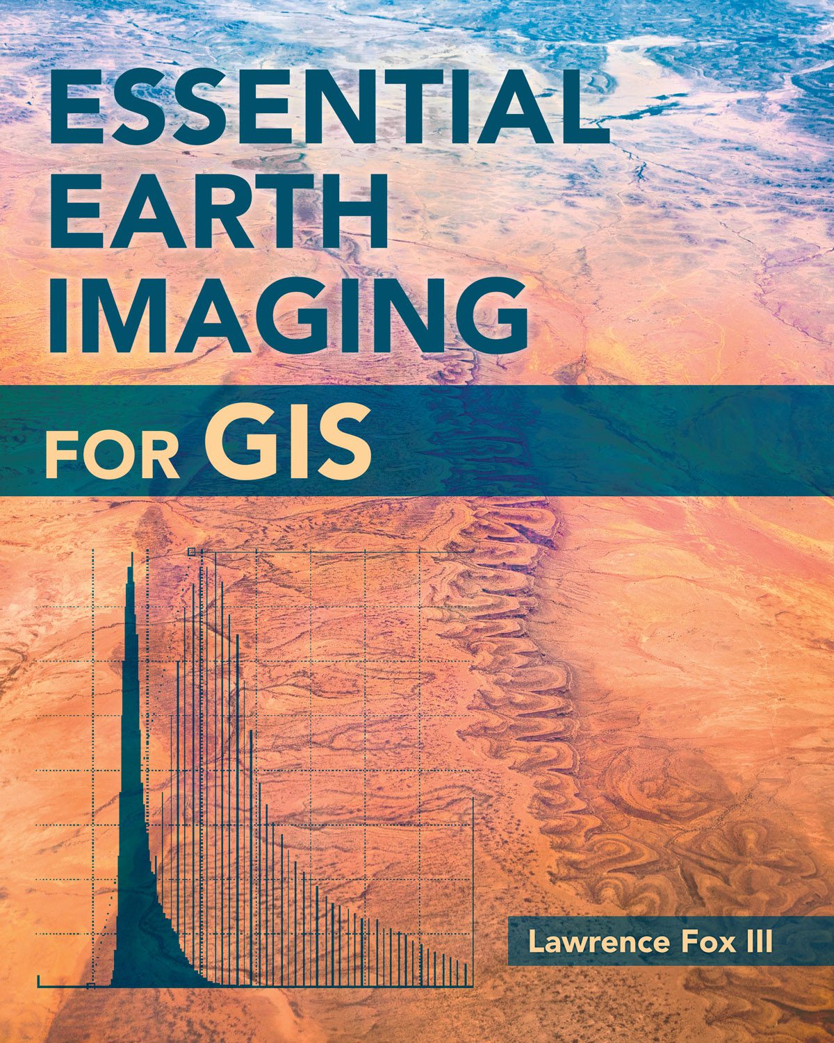
To familiarize GIS professionals and students with the advanced Earth-imaging technologies available today, Esri published Essential Earth Imaging for GIS, which provides a basic education in remote-sensing technology, promoting the effective use of sophisticated multispectral and 3D imagery.


