The House of Representatives today unanimously approved bipartisan legislation to address the rising costs of disasters in the United States, reduce the toll of future losses, and improve the efficiency and effectiveness of the Federal Emergency Management Agency’s...

Lone Star UAS Center Assists with Recent Floods
The Lone Star UAS Center of Excellence & Innovation, a partnership between Texas A&M University-Corpus Christi and the Texas A&M Engineering Experiment Station, went into action recently to assess flood damage and help with search-and-rescue operations in Texas.

Free Mapping Software Expands Aid to Emergency Responders
MARPLOT, free mapping software jointly developed by the U.S. Environmental Protection Agency and the National Oceanic and Atmospheric Administration for responding to hazardous chemical spills, is now improved with version 5.0.
MapAction Deploys to Liberia for Ebola Response
LONDON, Sept. 17, 2014—MapAction is deploying a team of two volunteers and its Chief Executive to Monrovia, Liberia, in response to the Ebola outbreak, which has spread across West Africa. The team will be working in partnership with the United Nations and...

Leveraging Satellite Imagery and Analysis
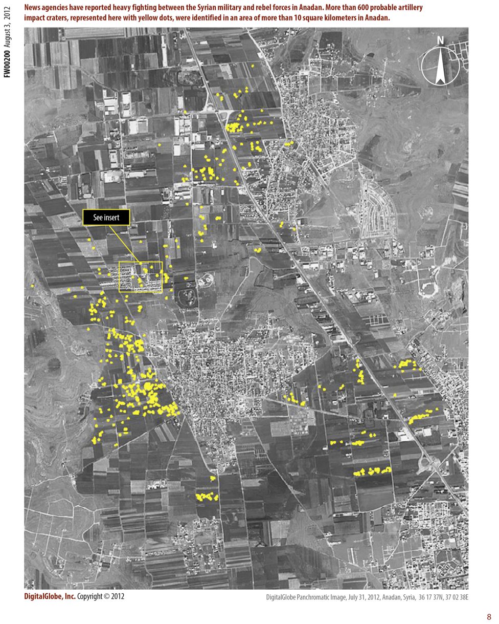
Emergency Response DigitalGlobe has formed an imagery and geospatial Analysis Center to support humanitarian relief and human security activities around the world. Using DigitalGlobe’s FirstLook service as a platform, the DigitalGlobe analysis team identifies...
DATA SHARING: Mexico City Increases Emergency Response Capacity
On Sept. 19, 1985, Mexico City experienced one of the most devastating earthquakes in history. The magnitude 8.1 quake shook the city in two separate tremors, burying more than 10,000 people amid the rubble. Mexico City officials and citizens commemorate the event by...