NEW YORK, Oct. 7, 2015 — This market insight covers the small-satellite market from an Earth-imaging standpoint. It touches on the research and commercial versions of small-satellite technology. Other domains such as in-orbit debris mitigation and satellite-based...
Teledyne Selects Orbit Logic Software for ISS Imaging Platform Operations
GREENBELT, MD, September 4, 2015 — Orbit Logic announced today that Teledyne Brown Engineering, Inc. (TBE) of Huntsville, AL has selected Orbit Logic’s Collection Planning & Analysis Workstation (CPAW) and Order Logic software for its Multi User System for...

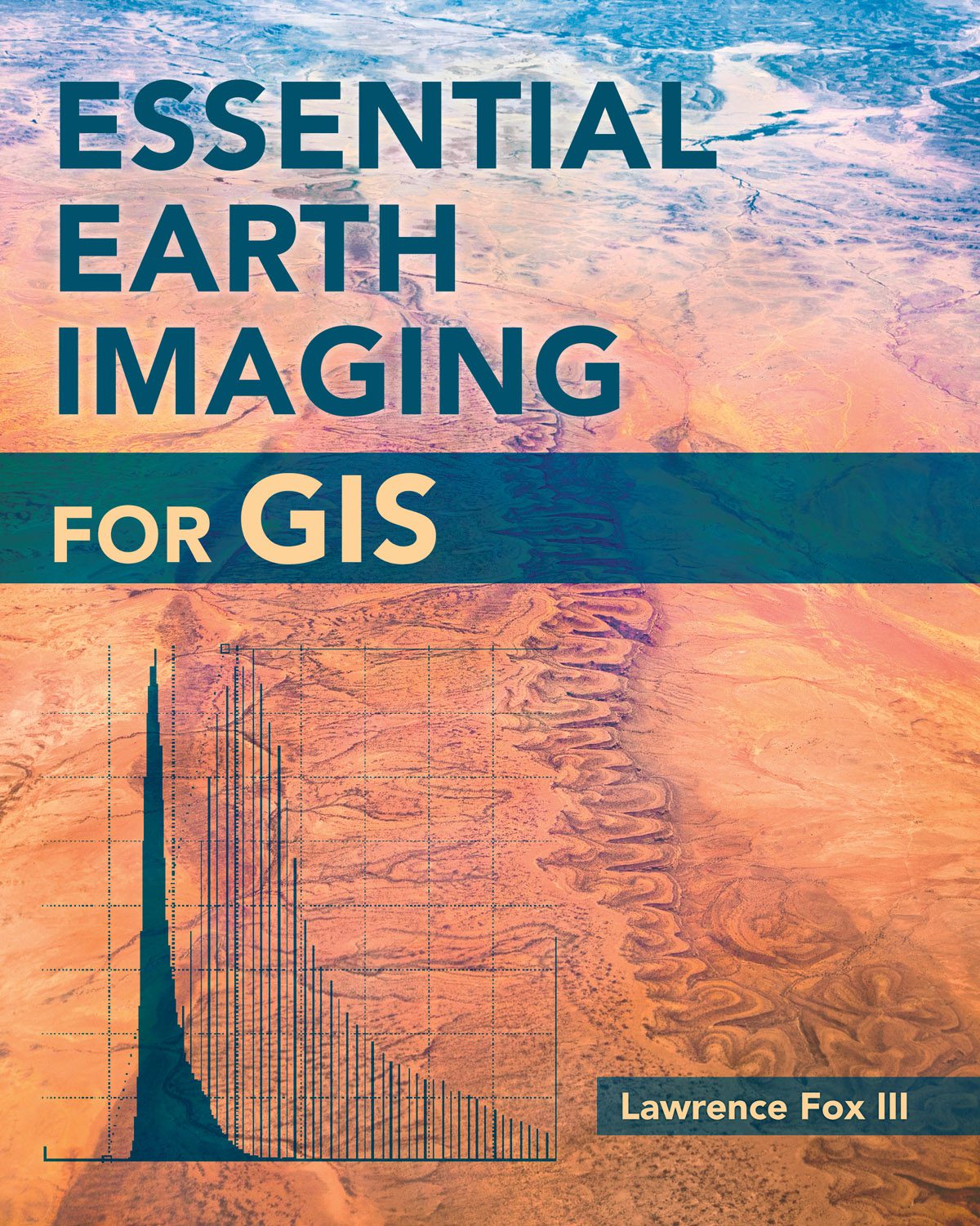
New Book Examines Earth Imaging for GIS
To familiarize GIS professionals and students with the advanced Earth-imaging technologies available today, Esri published Essential Earth Imaging for GIS, which provides a basic education in remote-sensing technology, promoting the effective use of sophisticated multispectral and 3D imagery.
Nominations Open for the Prestigious Carl Pulfrich Award 2015
Heerbrugg, Switzerland, May 26, 2015 — Hexagon Geosystems is pleased to continue the tradition of promoting outstanding scientific, application-oriented design and/or manufacturing activities in the field of photogrammetry, remote sensing and earth imaging...

