SPRINGFIELD, Va. — The National Geospatial-Intelligence Agency launched a public website Sept. 2 to provide unclassified information about the Arctic. The public website supports efforts to strengthen international cooperation, better understand and manage...

How Do New-Generation Earth Observation Satellites Affect the Future of Elevation Models?
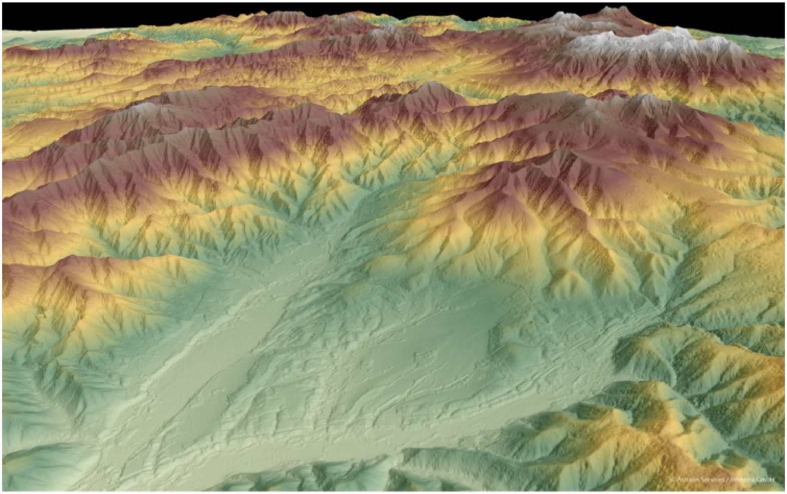
Whether planning an infrastructure network, conducting a military intervention mission in unknown terrain or analyzing terrain features for oil and gas exploration, precise, reliable elevation data support a wide range of applications and form the foundation of any accurate geospatial product.

