Approximately 250 million measurements taken by the European Space Agency (ESA) CryoSat during the last six years have been used to create a unique 3D view of Antarctica, offering a snapshot of the undulating surface of this vast ice sheet.
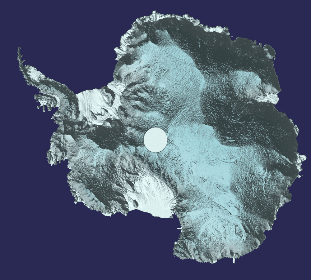
Approximately 250 million measurements taken by the European Space Agency (ESA) CryoSat during the last six years have been used to create a unique 3D view of Antarctica, offering a snapshot of the undulating surface of this vast ice sheet.
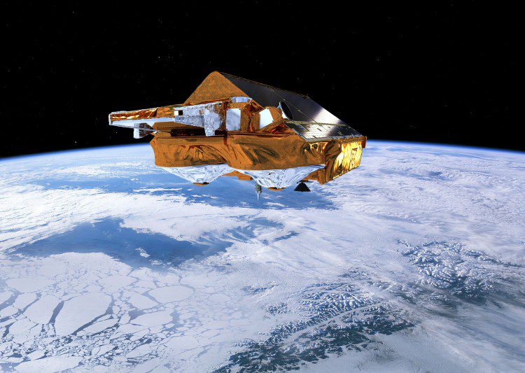
Scientists from the Norwegian University of Life Sciences report that the European Space Agency's CryoSat satellite and its radar altimeter can map coastal sea levels much closer than previous satellite-based methods.
Trying to measure sea levels around rugged coastlines is not always an easy task. ESA’s CryoSat satellite is making a difference with its radar altimeter. Sea level is a very sensitive indicator of climate change, reflecting components of the climate system such as...
