China still has a startling number of vacant real-estate developments, judging from new satellite analysis by DigitalGlobe and Business Insider.
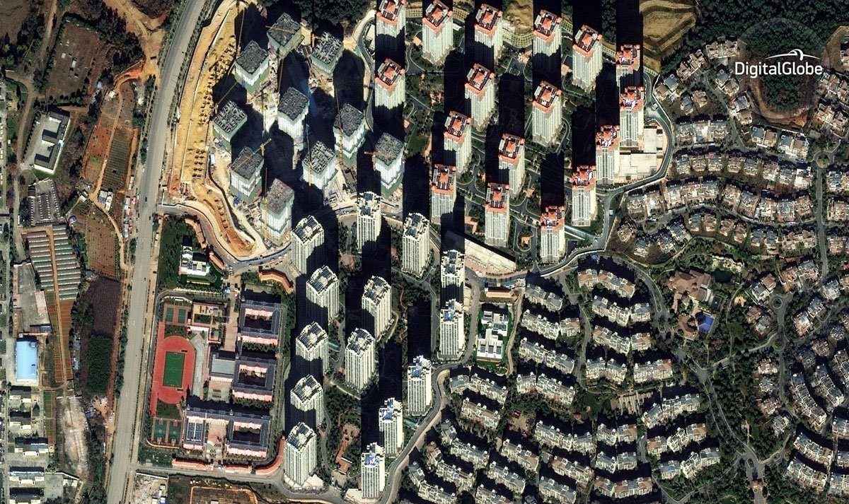
China still has a startling number of vacant real-estate developments, judging from new satellite analysis by DigitalGlobe and Business Insider.
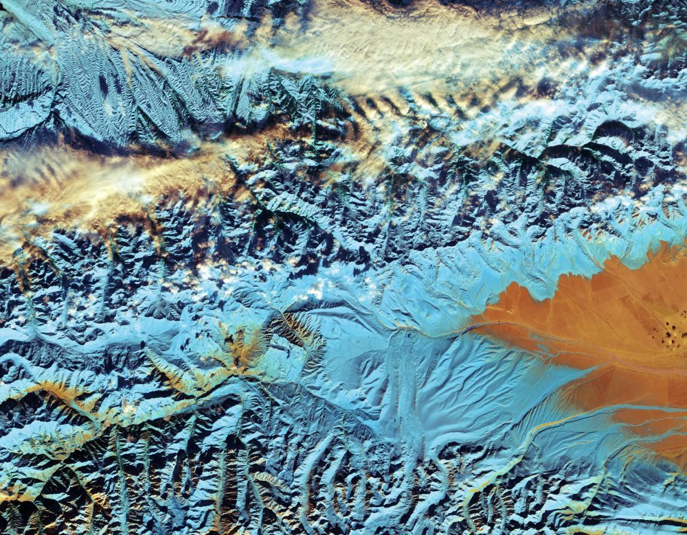
The European Space Agency (ESA) Sentinel-2A satellite collected this false-color image over northwestern China near the border with Kazakhstan and Kyrgyzstan. The featured Tian Shan mountain range stretches about 2,800 kilometers across this border region, making it one of the longest mountain ranges in Central Asia.
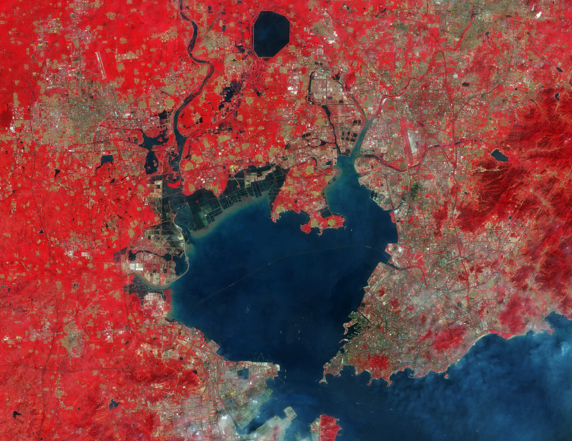
Sentinel-2A, which has been in orbit since June 2105, captured this false-color image of Qingdao, China.
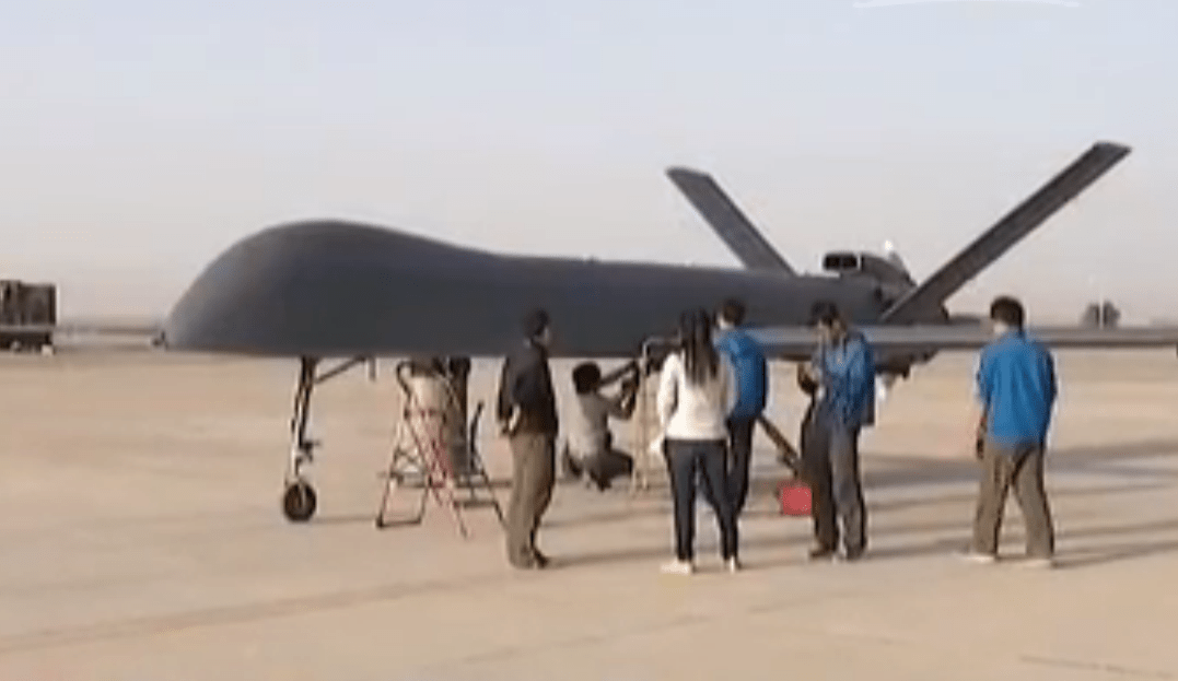
China's largest, self-developed unmanned aerial vehicle (UAV) made its maiden flight in Gansu province on Aug. 31, 2015. The drone’s first flight lasted about 20 minutes, although it can reportedly stay in the air for more than 30 hours.
