The European Space Agency (ESA) Copernicus Sentinel-3A satellite collected this image of the Bering Sea, north of the Alaska Peninsula, on March 26, 2017.
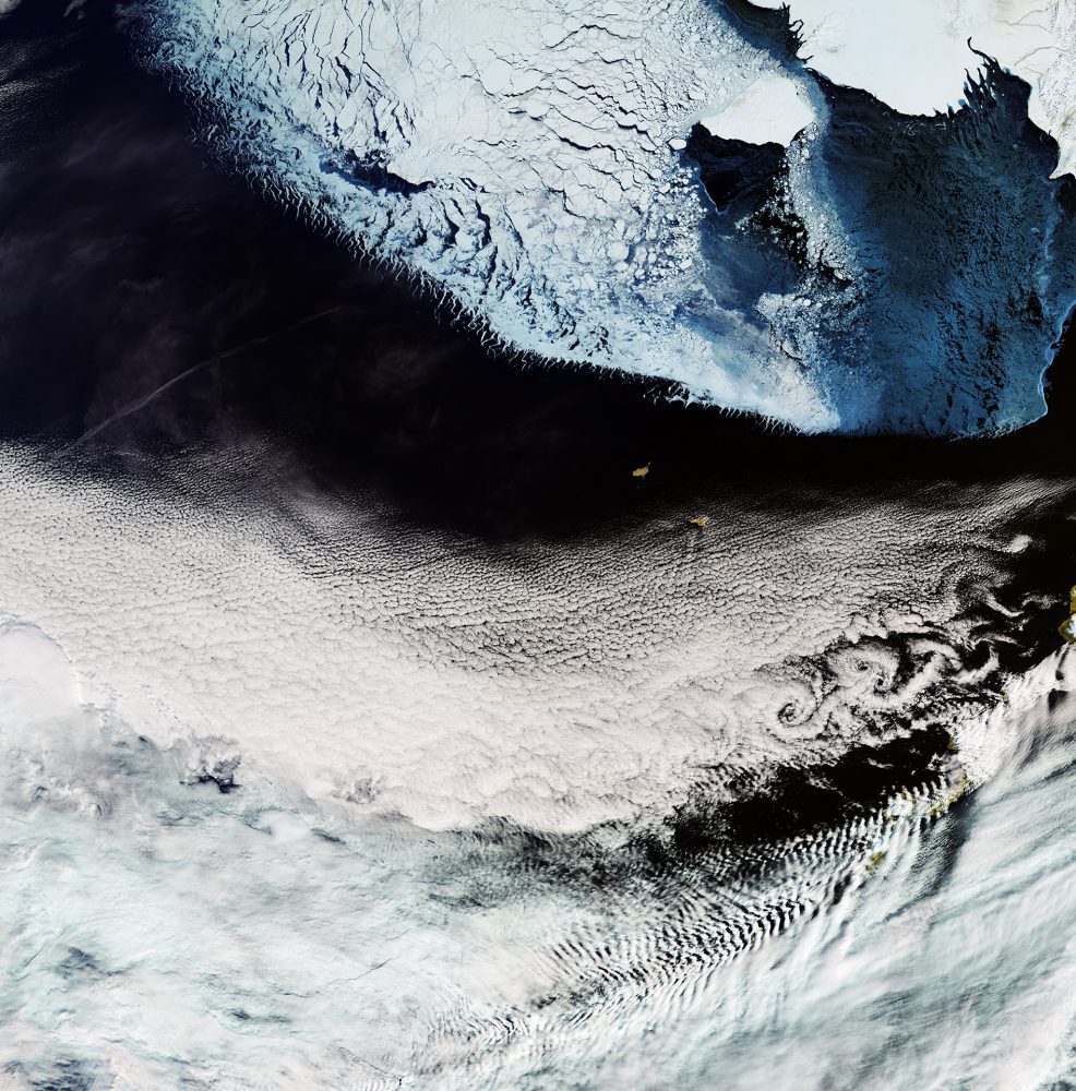
The European Space Agency (ESA) Copernicus Sentinel-3A satellite collected this image of the Bering Sea, north of the Alaska Peninsula, on March 26, 2017.
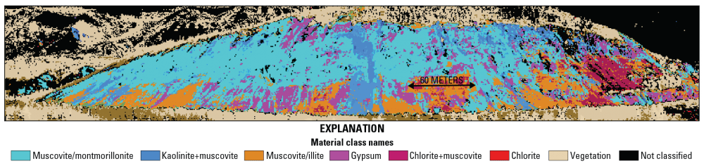
Although Alaska contains vast mineral deposits, its size and remoteness have prohibited study and extraction of these resources. To remedy this, the U.S. Geological Survey (USGS) began the Alaska Hyperspectral Project to assess the applicability of hyperspectral surveying to rapidly acquire data about the distributions of surficial materials, including different types of bedrock and ground cover.

Alaska officials celebrated the progress of a long-standing mission to upgrade a dated and often-erroneous digital map of the state. The new map is being created with interferometric synthetic aperture radar (IfSAR) technology.
