Looking down on the desert vistas of the southwestern United States, an astronaut took this photograph of a short section of the Colorado River.
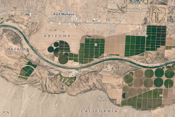
Looking down on the desert vistas of the southwestern United States, an astronaut took this photograph of a short section of the Colorado River.
SUNNYVALE, Calif., —Trimble (NASDAQ: TRMB) announced today that it is establishing a dedicated Business Solutions group within its Agriculture Division to support the more complex needs of agricultural leaders. The Trimble Agriculture Business Solutions group will...
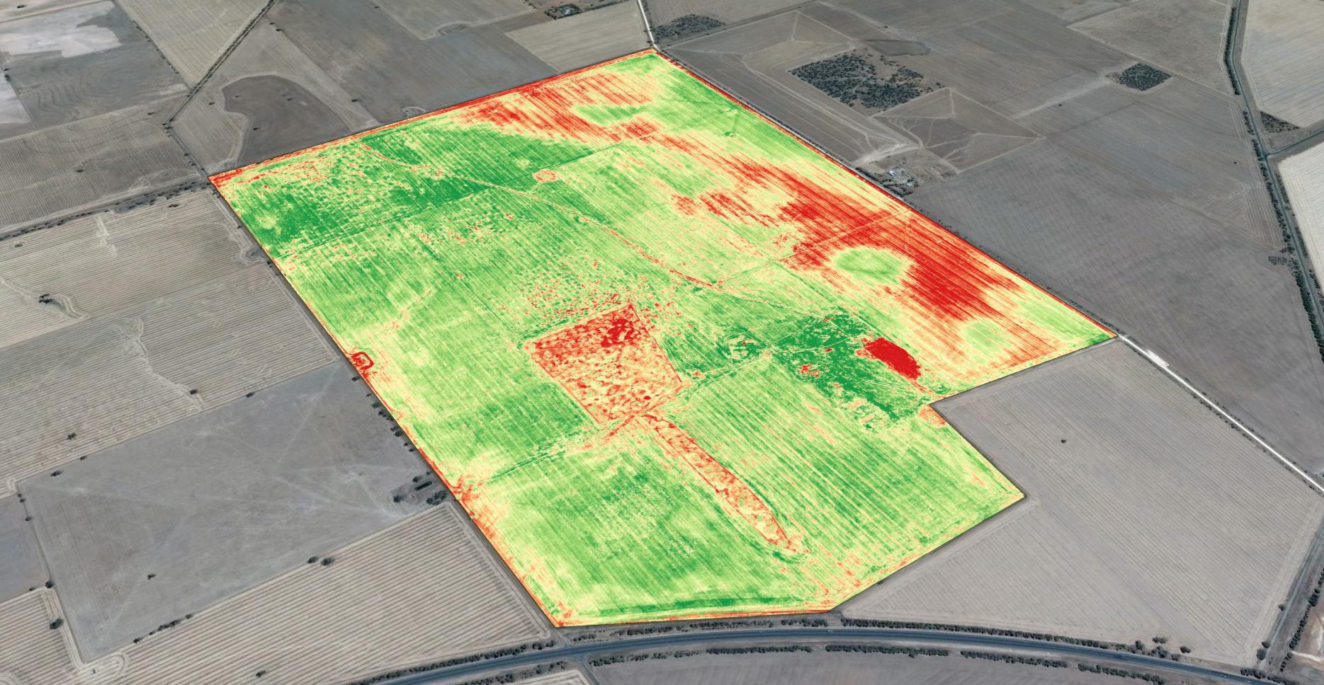
Basic crop scouting from drones provides a major improvement over how field surveys previously were done, and it's the primary driver for drone-technology adoption. Crop scouts traditionally were employed to walk farm fields to monitor crop condition. This is hot, time-consuming work, and crop scouts have difficulty visiting even a small percentage of a whole field, easily missing problem areas.
