What are the effects of the angle between images setting in circular missions when it comes to 3D reconstruction?
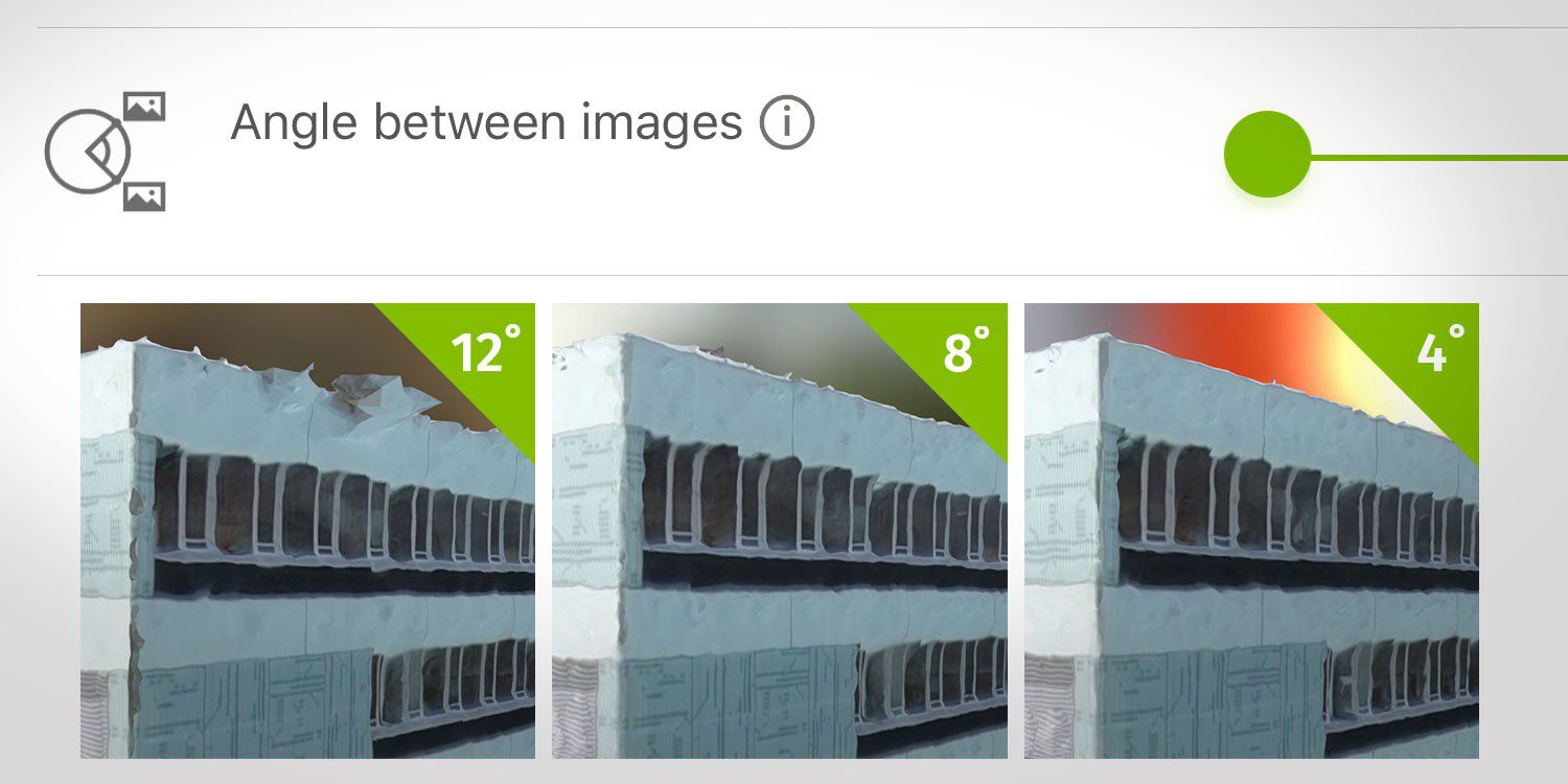
What are the effects of the angle between images setting in circular missions when it comes to 3D reconstruction?
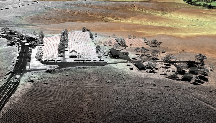
In August 2015, the National Park Service (NPS) contracted Woolpert for the Little Bighorn National Monument Mapping Project to record the locations of thousands of headstone markers at the Custer National Cemetery as well as hundreds of battlefield markers at the Little Bighorn National Monument site, which covers approximately 5.5 square miles.
