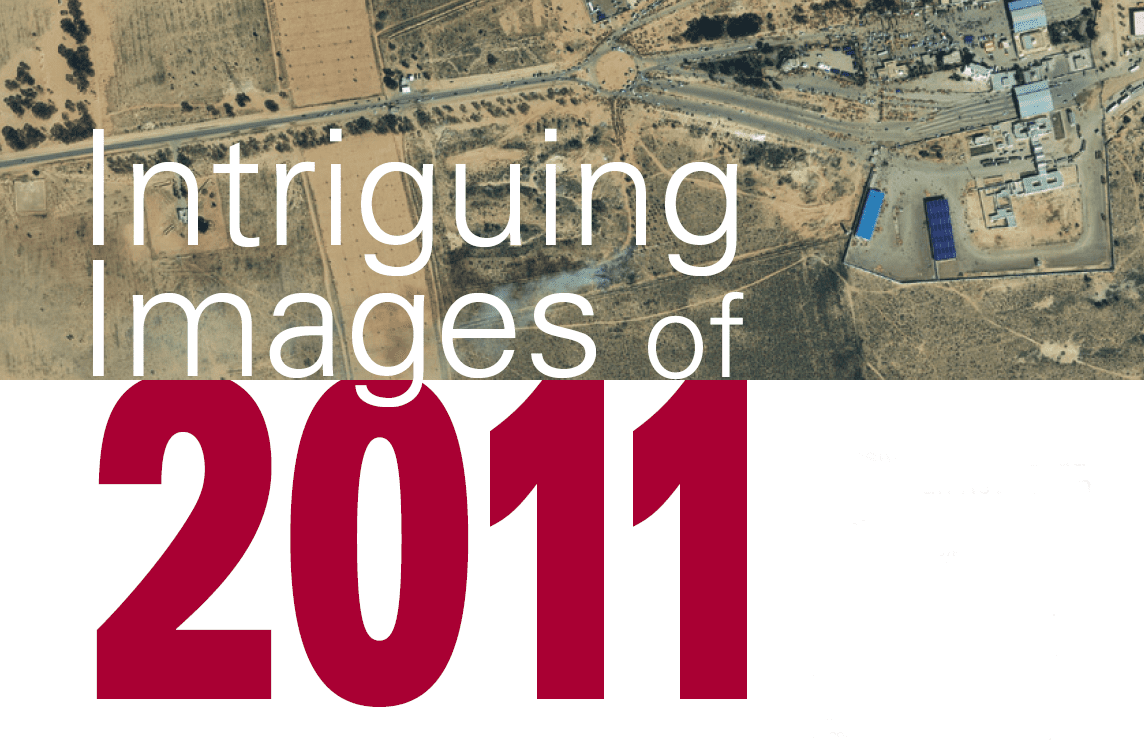
Earth imagery is elevating our understanding of today’s interconnected world by providing unparalleled insights and transparency. The images on the following pages highlight just a few of the many ways remote sensing helped chronicle some of 2011’s noteworthy...