Greenwood Village, CO – April 13, 2017 – Merrick & Company, a global leader in light detection and ranging (LiDAR), digital orthophotography, hyperspectral imaging, and geographic information systems (GIS) data integration, is pleased to announce the release...
NASA's CYGNSS Constellation Enters Science Operations Phase
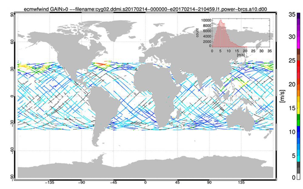
NASA's Cyclone Global Navigation Satellite System (CYGNSS), a constellation of eight microsatellites that will take detailed measurement of wind speeds inside hurricanes, successfully completed the development and on-orbit commissioning phases of its mission and moved into the science operations phase.
DroneDeploy Integrates with agX to Streamline Planning of Drone Mapping Flights
Stillwater, Okla.- STILLWATER, OK – DroneDeploy, the leading cloud software platform for commercial drones today announced an integration with agX® to help growers more easily capture field maps and analyze aerial data. agX users can now share field boundaries...
Martin Instrument Adds Microdrones UAVs to Their Offering
US: Microdrones has announced that leading equipment provider for surveying and construction companies throughout Texas, Martin Instrument, has added a new product line to their extensive offering: Microdrones mdMapper unmanned aerial systems. These complete solutions...
Bluesky LiDAR Maps Used to Monitor the Spread of Deadly Tree Disease
Laser maps collected by airborne mounted sensors have, for the first time, been used to successfully segment individual trees affected by the deadly Larch tree disease. The laser scanning surveys (LiDAR) were undertaken by aerial mapping company Bluesky and used to...
European Satellite Navigation Competition 2017
From 1 April to 30 June 2017, the European Satellite Navigation Competition (ESNC) – the largest international competition for the commercial use of satellite navigation – is once again in search of outstanding ideas and business models. Renowned institutions and...
ESRI India Announces mApp Your Way App Development Challenge 3.0
New Delhi/Kolkata (IBNS): Esri India, country's leading Geographic Information System (GIS) Software & Solutions provider, has launched the third edition of its annual GIS contest mApp Your Way App Development Challenge 3.0. An application (mobile or web)...
Asia Pacific Hyperspectral Imaging Systems Market (2016-2022)
LONDON - The most advanced remote sensing technology which has been seen so far is hyperspectral imaging systems. Recently, scientists have developed new low cost hyperspectral systems for natural gas detection. The innovation has been done by University of Glasgow in...
Aerojet Rocketdyne Expands Competitive Improvement Program to Drive Affordability and Position for Future Growth
SACRAMENTO, Calif.- Aerojet Rocketdyne, Inc., a subsidiary of Aerojet Rocketdyne Holdings, Inc. (NYSE:AJRD), announced plans for the next phase of its Competitive Improvement Program (CIP) that was launched in 2015. The next phase (Phase II) includes additional...
AUVSI XPONENTIAL 2017 Hosts Co-Located Events Focusing on Repair, UAS Research, Safety and Civilian Applications
ARLINGTON, Va. -Â The Association for Unmanned Vehicle Systems International (AUVSI) today announced the line-up of co-located events taking place at XPONENTIAL 2017, including the Wireless Repair Roundup, which is partnering with AUVSI for the first time to provide...
