Earth-i, the innovative British distributor of Earth Observation imagery and services, has teamed up with Harwell-based WeatherSafe - leaders in the application of big data analytics to meet agricultural challenges - to support the coffee farmers of Burundi through...
Rezatec Wins Award for ˜Most Innovative Technology' in the Big Water Pitch at Utility Week Live Event
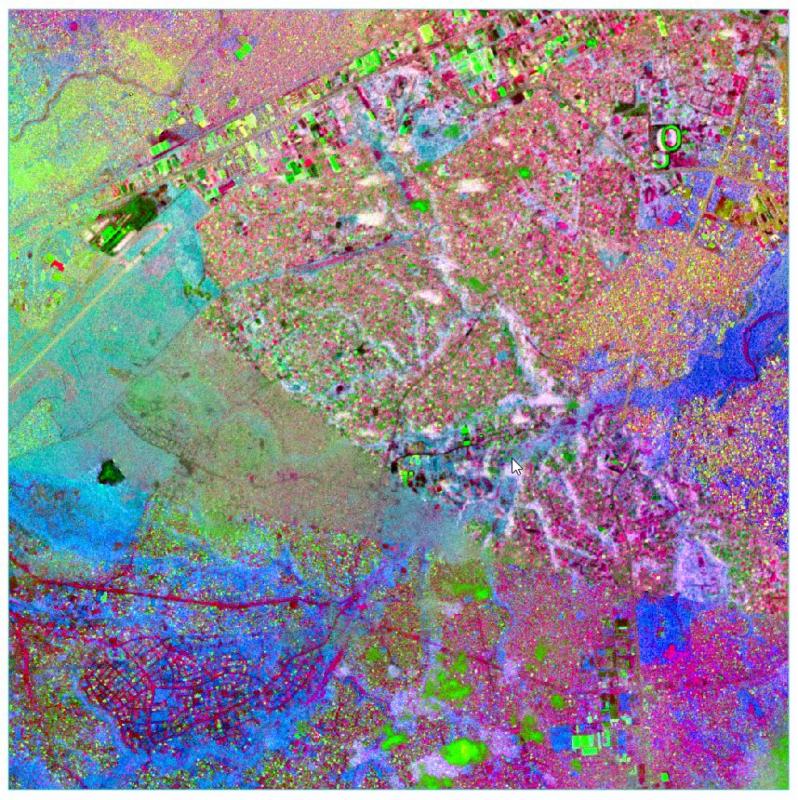
Harwell, Oxfordshire, 25th May, 2017. Rezatec has been selected as winner of the ‘Most Innovative Technology’ at Isle Utilities’ Big Water Pitch at Utility Week Live, NEC, Birmingham, UK. Rezatec specialises in advanced geospatial satellite data analysis and...
Swiss-Based UAV Pioneer Aeroscout Introduced their NEW Scout B-330 UAV Helicopter to the North American Market at this Year's AUVSI XPONENTIAL in Dallas, Texas!
Aeroscout, a long term partner of performance leading LiDAR manufacturer RIEGL, is excited to present the Scout B-330 UAV helicopter, which is built with a high payload capacity of up to 50 kg (110 lbs), a very long flight endurance (at least three hours) and the...
Alta Devices and PowerOasis Partner to Develop Power System Reference Design for Small Unmanned Aerial Vehicles
SUNNYVALE, Calif. & SWINDON, England - Alta Devices and PowerOasis have announced they are partnering to develop the world’s first reference design for integrated solar and lithium-ion (Li-ion) battery power systems for small unmanned aerial vehicles (UAVs). By...
First Round of Drone World Expo Sessions and Speakers Announced
SAN JOSE, Calif.-The Drone World Expo Advisory Board has selected a terrific roster of speakers and sessions for the 3rd Annual event taking place October 3-4 at the San Jose Convention Center, in the heart of Silicon Valley. Commercial drone users who attend will...
DJI Launches Spark, The Easy And Fun Camera Drone For Everyone
NEW YORK - DJI, the world's leader in civilian drones and aerial imaging technology, Wednesday launched Spark, an easy-to-use, fun-to-fly mini camera drone that lifts off from the palm of your hand to capture and share the special moments in your life on the go....
Teledyne Optech to Showcase Airborne and Terrestrial Survey Systems at GEOINT 2017
 Teledyne Optech is pleased to announce that it will be exhibiting at the United States Geospatial Intelligence Foundation’s GEOINT symposium in San Antonio, Texas on June 4-7. Visitors can discover the advanced capabilities of the award-winning ALTM Galaxy T1000,...
Airbus and Scanex to Feed Russia's Most Popular Search Engine Yandex with One Atlas Satellite Imagery Data
Toulouse – Airbus Defence and Space has signed a 4-year contract with Scanex, the Russian Earth observation company, for access to optical satellite imagery via the One Atlas platform, covering 180 million km² throughout the contract. Yandex, one of the largest...
Satellites Identify Unplanned Urbanization
East View Geospatial is teaming with Planet and the World Bank to identify unplanned urbanization in specific developing areas using satellite imagery. Starting in mid-2017, East View Geospatial will begin calculating and detecting change to the Floor Space Index...
2G Robotics Selected as Official Supplier of Underwater Laser Scanning and Imaging Technology to Kongsberg Maritime and the Royal Norwegian Navy
2G Robotics is excited to announce it has been selected to supply AUV-based laser scanning, stills imaging, and illumination solutions for HUGIN AUVs to be delivered to the Royal Norwegian Navy. As part of this relationship, 2G Robotics is looking forward to being...
