The Copernicus Data Warehouse is now offering eligible users the ability to order 40 cm satellite imagery in remarkably quick time frames, thanks to a 24 hour service exclusively available from European Space Imaging and its partner DigitalGlobe. On March 16, the...
Fifth Successful Iridium NEXT Launch Completed as Iridium Surpasses 1 Million Subscribers
MCLEAN, Va. - Iridium Communications Inc. (NASDAQ:IRDM) announced today that at 7:13:51 am PDT (14:13:51 UTC) SpaceX successfully launched the fifth set of 10 Iridium NEXT satellites into orbit from Vandenberg Air Force Base in California. All 10 new satellites have...
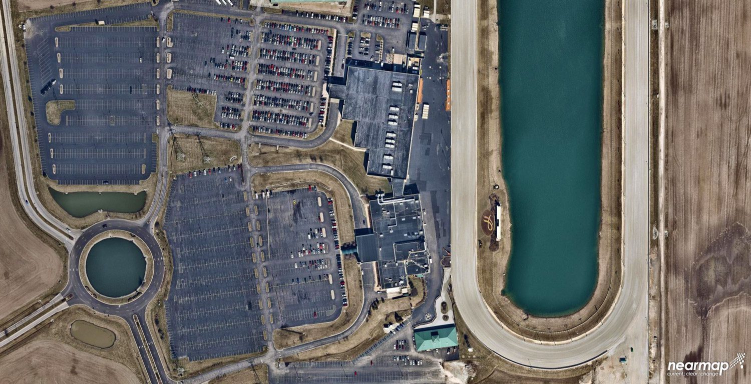
Why Aerial Imagery Resolution Matters
A quantum leap in computing capacity has allowed us to model and analyze the real world – all from our desktop and mobile devices. In days past, maps were purely for visualization and direction. Today, they have graduated to full-blown analytics platforms empowering...
Cepton Announces Next-generation LiDAR Solution for Autonomous Vehicles
SAN JOSE, Calif.- Cepton Technologies, Inc., a leading provider of 3D LiDAR solutions for automotive, industrial and mapping applications, today unveiled its Vista LiDAR sensor at the annual NVIDIA GPU Technology Conference, with immediate availability for the...
Pix4D is Announcing Pix4Dfields
To give you fast and accurate maps while in the field, with a simple yet powerful interface fully dedicated to agriculture. One product for all of your drone-based agricultural workflows. “Our solution fits the needs of the agriculture industry and we believe...
Coordinator of Aeroarms Project, AnÃbal Ollero, Candidate to the European Leadership Awards
Sevilla, March, 29th 2018. Professor of robotics at the University of Seville, and coordinator of the European project AEROARMS, which has developed the first industrial aerial robotic manipulators, Anibal Ollero, has been proposed as a candidate for the European...
$1.7 Billion Revenue Opportunity in High Altitude Platforms (HAPs)
CAMBRIDGE, Mass. - NSR’s newly released High Altitude Platforms (HAPs), 2nd Edition report forecasts $1.7B in cumulative HAPs revenues over the next decade for airships, balloons and pseudo-satellite platforms. Of the three platforms, the balloon market remains the...
Cansel to Distribute Microdrones Fully Integrated Drone Systems Throughout Canada
VAUDREUIL-DORION, Quebec - Leading geospatial solutions provider, Cansel, signed an agreement to distribute Microdrones integrated systems. With 23 locations and a strong reputation dating back to 1966, Cansel is firmly positioned to help customers adopt drone...
Sentera Integrates High-Precision AGX710 Sensor with DJI Matrice 200 Series Industrial Drones
MINNEAPOLIS -Â Sentera today announced the immediate availability of the Sentera AGX710 gimbaled precision agriculture sensor with plug-and-play integration for DJI's industry leading Matrice 200 Series industrial drones. The AGX710 sensor delivers exceptional crop...
Ouster Launches Two New LIDAR Sensors, Adopts NVIDIA DRIVE AI Platform
SAN JOSE, Calif. - Ouster, a San Francisco-based developer of high performance LIDAR technology, announced today at the NVIDIA GPU Technology Conference (GTC) in San Jose two new products and the adoption of the NVIDIA DRIVE™ AI platform for its R&D efforts....
