DENVER, May 22, 2014—Lockheed Martin [NYSE:LMT] Commercial Launch Services (LMCLS) will launch the WorldView-3 commercial remote sensing spacecraft, placing it into orbit on August 13 for DigitalGlobe, a leading provider of commercial high-resolution earth...
Teledyne and German Aerospace Center Formalize Commercial Space Imaging Partnership
THOUSAND OAKS, Calif., May 20, 2014—Teledyne Technologies Incorporated (NYSE:TDY) announced today that its subsidiary, Teledyne Brown Engineering, Inc. (TBE), in Huntsville, Ala., and the German Aerospace Center (DLR) formalized their commercial space imaging...
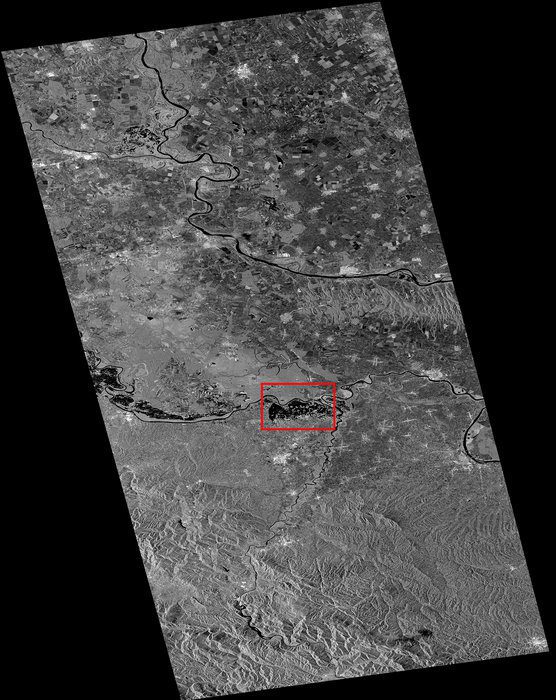
Sentinel-1A Satellite Aids Balkan Flood Relief
Although not yet operational, the European Space Agency's new Sentinel-1A satellite has provided radar data for mapping the floods in Bosnia and Herzegovina.
Satellites Aid Sustainable Forest Management
Under the Space for Ecosystems project, the European Space Agency is working with international partners to exploit Earth observation satellites as an information source for many types of ecosystem service assessments.

LA Police Avoid the D Word
The Los Angeles Police Department added two new unmanned aircraft systems to its toolbox, but the department is shunning the use of the word drone to avoid negative connotations.

USAF Deploys Advanced Surveillance Drones to Japan
The U.S. Air Force's deployment of drones to a key U.S. ally is intended to demonstrate Washington's commitment to security in Asia as part of the rebalancing of its Pacific forces.
GeoPlanner for ArcGIS Enables Resilient Design
Redlands, California, May 14, 2014—Esri recently released a web app called GeoPlanner for ArcGIS that brings the power of geodesign to land-based planning. GeoPlanner for ArcGIS is a JavaScript-based application that requires no plug-ins and has been designed to...
Exelis CorvusEye Provides Wide-Area Airborne Surveillance
ROCHESTER, N.Y., May 13, 2014—Exelis (NYSE: XLS) has introduced a wide area airborne surveillance system called CorvusEye 1500 that can capture color video from multiple views over a large area. The persistent surveillance system was developed primarily to support...
Lockheed Martin Introduces Latest Addition to Small Unmanned Aircraft System Family
ORLANDO, Fla., May 13, 2014—Designed for versatility and affordability, the new Lockheed Martin [NYSE:LMT] Vector Hawk addresses a broad set of unique missions and operating needs within a single system. With a gross takeoff weight of only four pounds and a vertical...
MDA Expands Imaging Modes for RADARSAT-2
Richmond, Canada, May 21, 2014—MDA’s Information Systems group has commercially launched a unique new imaging mode for RADARSAT-2. This Extra-Fine mode provides an unprecedented ability to capture exceptional resolution imagery over large areas, providing a...
