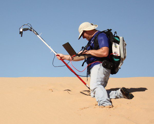
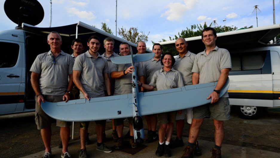
The Sensor Systems research effort at the University of Dayton Research Institute has grown significantly since its inception in 2007. A group of 32 full-time researchers focused on research and development for sensors for surveillance applications have been spun off as the Sensor Accelerated Processing and Exploitation (Sensor APEX) office.
Finding Stable Sites to Calibrate Orbiting Satellites
South Dakota State University (SDSU) imaging engineer Larry Leigh will use Google Earth images to find sites to calibrate Earth-imaging satellites, thanks to a one-year, $46,000 Google Earth Engine Research award. He's the first SDSU researcher to receive the award.
Predictive Analytics, Drone Technology Could Help Save South Africa's Rhinos
In the wake of record numbers of rhinos slaughtered in 2014 by poachers in South Africa ” an estimated 1,200 ” there's a glimmer of good news: a high-tech anti-poaching technique is stopping the bad guys in their tracks.
Real-Time Environment Info App “ Connecting Smart Tech with GIS
July 14, 2015 — Environmental Protection Administration, Taiwan has offered citizens and governmental sectors a comprehensive information portal since 2000, to meet the global concerns of environments. The portal provides visitors with various real-time data like...
UK Flood Map New for Bluesky Mapshop
Leicestershire, July 14, 2015 — Following an agreement between aerial mapping company Bluesky and hazard mapping specialists JBA Risk Management, visitors to www.blueskymapshop.com can now view and download a high resolution flood map for the whole of the UK....
Topcon Technology Facilitates Digital Preservation of Japanese Heritage Site
LIVERMORE, Calif., USA/ CAPELLE A/D IJSSEL, The Netherlands , July 14, 2015 — Topcon Positioning Group announces data from its participation in the digital preservation of the historic Sogi hydroelectric plant in Japan was unveiled at a special event in Bonn,...
OGC Invites Organizations to Co-sponsor a Major Spatial Interoperability Testbed
July 13, 2015 — The Open Geospatial Consortium (OGC®) invites organizations with specific spatial data integration requirements to explore a low cost, highly effective, high return on investment testbed approach to meeting those requirements. OGC testbeds are rapid...
Airbus Defence and Space Enables Clients to Take Full Control of their Data
July 13, 2015 — Airbus Defence and Space has introduced Data Management Solutions (DMS), an integrated suite of products and services that provides an easy way for clients to access, manage and disseminate various types of geospatial data. DMS will be officially...
Avineon Unveils Business Intelligence Solution for ArcGIS Geodatabase at Esri User Conference
McLean, Virginia, July 13, 2015 — Avineon, Inc. (Avineon), a global provider of information technology, geospatial, and engineering support services, will unveil the Metrics Extension™ to ArcGIS for Server at the 2015 Esri User Conference. The Metrics Extension...
Intersil Unveils New Radiation Hardened Multiplexers for Space Flight Data Acquisition Systems
Milpitas, Calif., July 13, 2015 — Intersil Corporation (NASDAQ: ISIL), a leading provider of innovative power management and precision analog solutions, today introduced the ISL71840SEH and ISL71841SEH, new radiation hardened (rad hard) multiplexers that offer...