August 5, 2015 — The Routescene® proposition to transform the approach to surveys across the world is taking hold. Collaborating with Hanseatic Aviation Solutions we have jointly developed an integrated ï¬xed-wing Unmanned Aerial Vehicle (UAV) and LidarPod®...
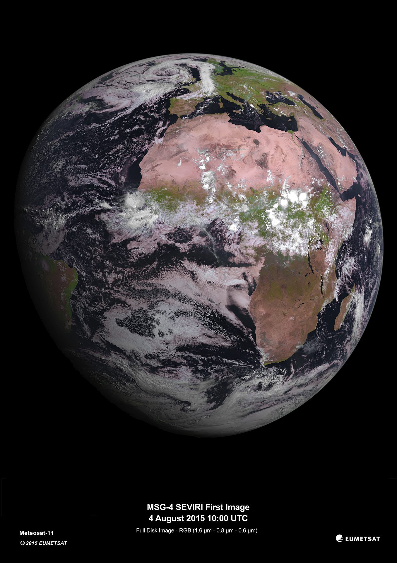
MSG-4 Weather Satellite Delivers First Image
On Aug. 4, 2015, the Spinning Enhanced Visible and Infrared Imager (SEVIRI) instrument on the MSG-4 satellite captured its first image of Earth.
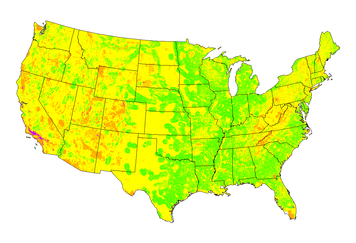
Scientists Use Remote Sensing to Map Suitability Areas for Solar Power Plants
Scientists at the Oak Ridge National Laboratory GIS and Technology Group used remote-sensing data to map suitable areas for concentrated solar power (CSP) plants.
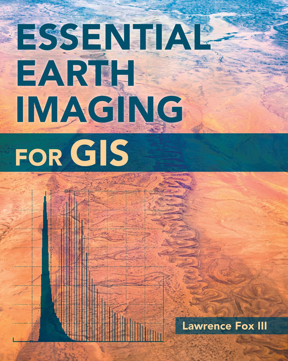
New Book Examines Earth Imaging for GIS
To familiarize GIS professionals and students with the advanced Earth-imaging technologies available today, Esri published Essential Earth Imaging for GIS, which provides a basic education in remote-sensing technology, promoting the effective use of sophisticated multispectral and 3D imagery.
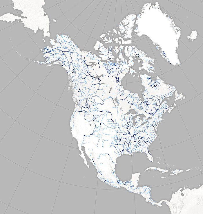
Satellites Help NASA Map Earth's Rivers
Scientists are swapping topographic maps for satellite images as part of a new NASA mission to create the first global inventory of Earth's surface waters.
Track Wildfires Across the Western US with Interactive Esri Maps
August 4, 2015 — Esri’s interactive Wildfire Public Information Map  and 2015 California Wildfire Activity Map are available for the media to share or embed as part of ongoing fire and weather coverage. Wildfire Public Information Map View continuously updated...
Avineon Hosts Webinar on Business Intelligence for ArcGIS
McLean, Virginia, August 4, 2015 — Avineon, Inc. (Avineon), a global provider of information technology, geospatial, and engineering support services, is hosting a free webinar to show ArcGIS users how to gain better understanding of the data in their geodatabase...
2015 URISA Exemplary Systems in Government Award Recipients Announced
Des Plaines, IL, August 4, 2015 — URISA Is pleased to announce the recipients of 2015 Exemplary Systems in Government (ESIG) Awards. Since 1980, URISA's ESIG Awards have recognized extraordinary achievements in the use of geospatial information technology that have...
Teledyne Optech going to Geomatics Indaba in South Africa
August 4, 2015 — Teledyne Optech is pleased to announce that it is displaying its latest technologies for surveying land and sea at the Geomatics Indaba 2015 conference on August 11 to 13 in Johannesburg, South Africa. Geomatics Indaba is one of Africa’s largest...
Phase One Industrial Introduces the iXU-R Camera Series with up to 80 MP Resolution Plus High Performance Optics
COPENHAGEN, August 4, 2015 — Phase One Industrial, a leading manufacturer and provider of medium format aerial digital photography equipment and software solutions, today introduced the iXU-R camera series. Available in 80 MP, 60MP and 60MP achromatic versions,...
