Lokeren, Belgium, October 7, 2015 — Orbit GT will be showcasing its new UAS Mapping product at the UAS Expo in Las Vegas, this week. “We’ve been in the UAV business for over 8 years now, and we’ve seen it grown from scratch.â€, says Peter Bonne, CEO of Orbit...
R.A. Smith National Given Green Light from FAA on Commercial Use of Unmanned Aircraft System (UAS)
October 7, 2015 — R.A. Smith National — a nationwide, multi-disciplined civil and structural engineering and surveying firm — headquartered in Brookfield, Wis., has been granted a Section 333 Exemption from the Federal Aviation Administration (FAA). This...
Eye on Earth Special Initiatives Demonstrate Critical Role of Data for Sustainable Development
Abu Dhabi, October 7, 2015 — At the second Eye on Earth Summit in Abu Dhabi today, experts highlighted the achievements of the movement’s Special Initiatives in providing data, tools and frameworks to help inform decision-making for sustainable development. The...
Bluesky Completes Project to Laser Map East Anglia and the South East
Leicestershire, October 7, 2015 — Bluesky has completed a multi-million pound aerial mapping project to assess the impact of vegetation on the electricity network of East Anglia and the South East of England. Working on behalf of UK Power Networks, Bluesky...
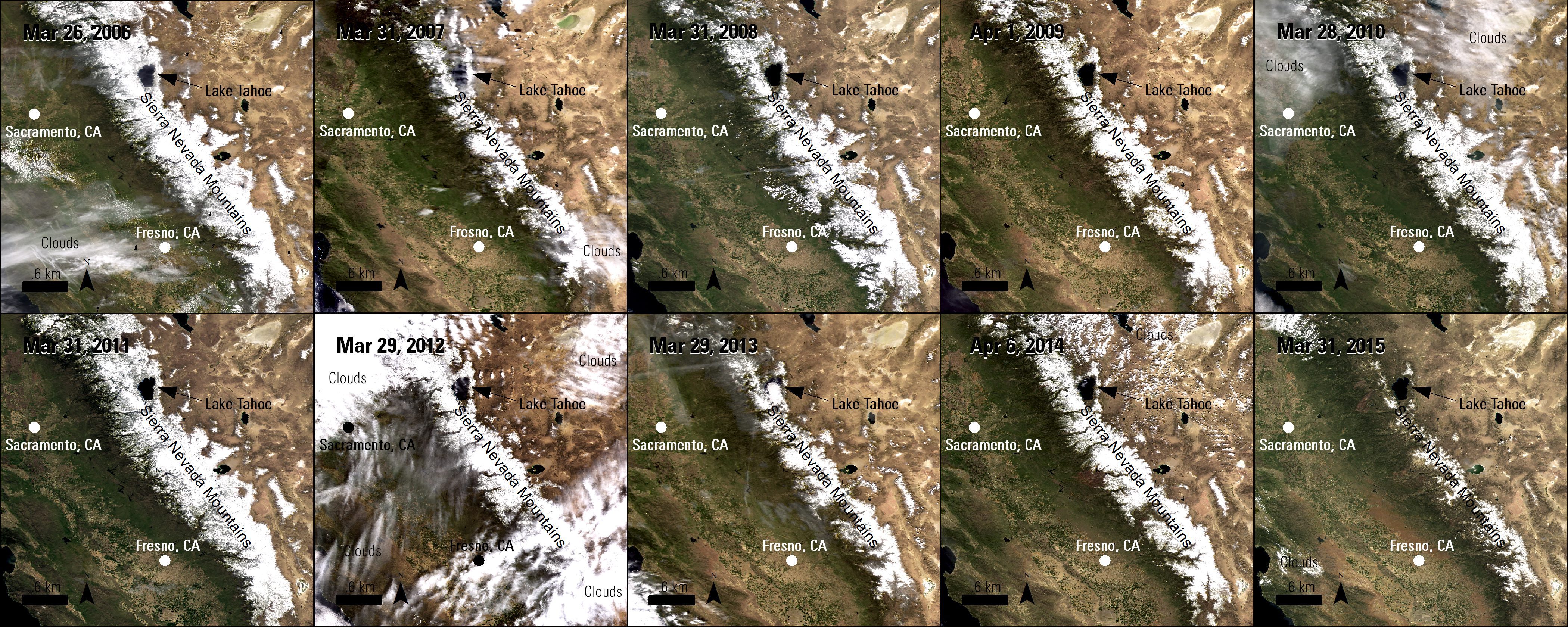
Remote Sensing Helps Observe Drought in California
California is in its fourth consecutive year of drought, which impacts water in the state in many ways. The main sources of consumable and agricultural water for California are underground aquifers, reservoirs and mountain snowpacks, but in recent years the volume of water in these sources has been decreasing.
USGS Maps Human-Induced Land Changes
The U.S. Geological Survey released a Landsat-based report and dataset on anthropogenic land-use trends in the United States from 1974-2012. The time periods coincide with U.S. Department of Agriculture (USDA) Census of Agriculture data-collection years.
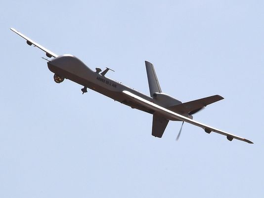
Military Drone Market to Reach $10 billion by 2024
The market for military drones is expected to nearly double by 2024 to more than $10 billion, according to a report published by IHS Jane's Intelligence Review.

UAVs Help Nepal Towns Build Back Better, Faster
The Humanitarian UAV Network, which seeks to enable the safe, responsible and effective use of unmanned aerial vehicles (UAVs) in humanitarian and development settings, led a mission in Nepal in collaboration with Kathmandu University, Kathmandu Living Labs, DJI and Pix4D.
Earth-i Announces Appointment of Leading Industry Figure Dr. Peter Hausknecht as its Chief Scientist
October 6, 2015 — Earth-i, (www.earthi.space), the master distributor of imaging and data services from the DMC3/TripleSat constellation with a unique combination of very high spatial and temporal resolution, has announced the appointment of Dr. Peter Hausknecht to...
Esri and Trimble Offer the R1 GNSS Receiver to Enhance Field GIS Workflows
Redlands, California, October 6, 2015 — Esri announced today the availability of theTrimble R1 Global Navigation Satellite System (GNSS) receiverfor collecting professional-grade GPS data withCollector for ArcGIS. The GNSS receiver is rugged certified MIL-STD-810,...
