Berlin, October 21, 2015 — Building Radar GmbH - providing a global, satellite-based online database for new construction projects - has just been named this year's overall winner of the international Earth observation competition Copernicus Masters. Founded in...
2015 GSA Prize Highlights Role of GNSS in the Internet of Things
October 21, 2015 —The 2015 edition of the European Satellite Navigation Competition GSA Special Prize was awarded to Rafael Olmedo for the KYNEO project. The project develops inexpensive, flexible Galileo and EGNOS enabled modules that allow ubiquitous positioning...
Innovative Tools for Building Mapping Apps Take Center Stage at Esri DevSummit in Berlin
Redlands, California, October 21, 2015—Developers from around the world will find the latest technology for building geoenabled apps on the ArcGIS platform at the Esri Developer Summit (DevSummit), November 10–12, 2015. Attendees will get an exclusive look at some...
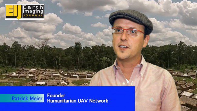
Initial Commercial UAV Expo Deemed Successful
The Commercial UAV Expo debuted from Oct. 5-7, 2015, at Caesar's Palace in Las Vegas, and more than 1,500 attendees from 30 countries attended the show. The exhibit floor had 120 exhibitors from 14 countries showcasing solutions including airframes, components, sensors, software and services.
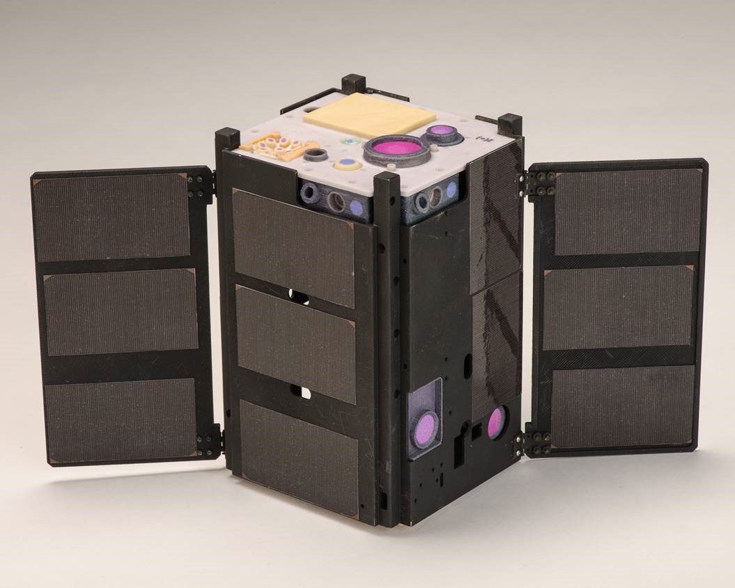
New NASA Cubesat Experiencing Problems
NASA and The Aerospace Corp. received confirmation that the Optical Communications and Sensor Demonstration (OCSD) CubeSat spacecraft is in orbit and operational, but it currently is experiencing a problem with its attitude control system.
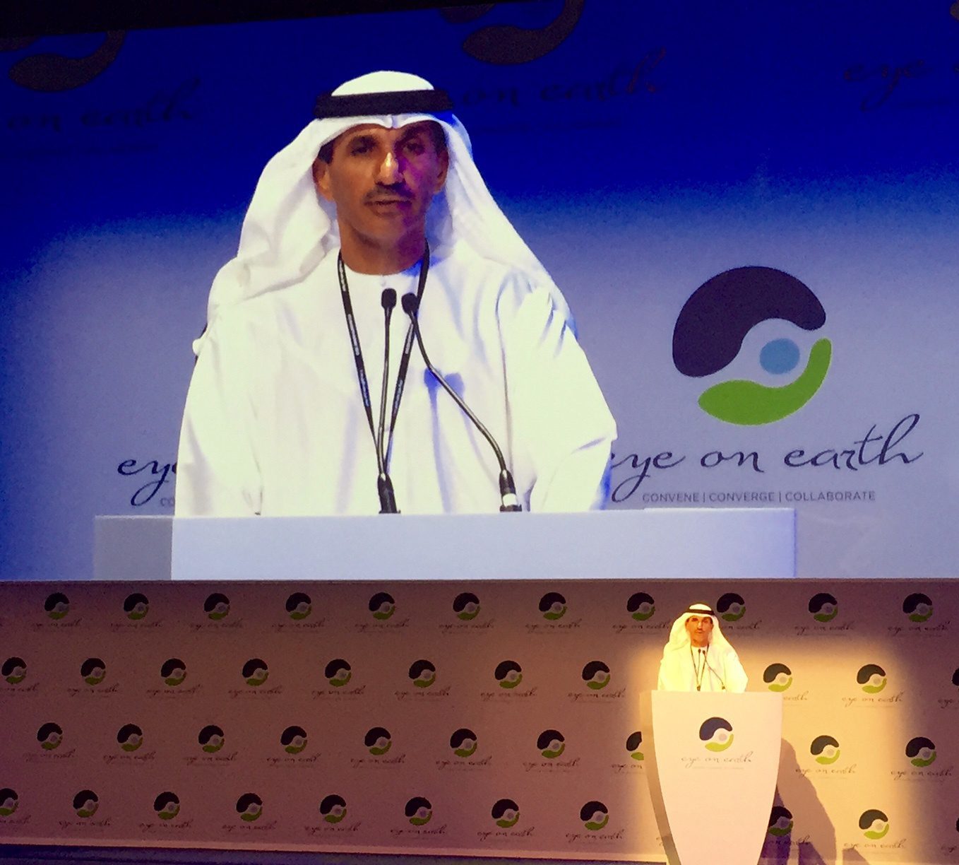
UAE Space Agency Commits to Earth Observation
At the Second Eye on Earth Summit, which was held Oct. 6-8, 2015, in Abu Dhabi, United Arab Emirates (UAE), the UAE Space Agency highlighted the importance of satellite and space technology for environmental-monitoring purposes.
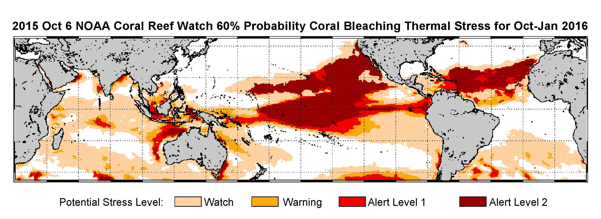
Satellite Data Spur NOAA to Declare Global Coral-Bleaching Event
As record ocean temperatures cause widespread coral bleaching across Hawaii, NOAA scientists confirm the same stressful conditions are expanding to the Caribbean and may last into 2016, prompting the declaration of the third global coral-bleaching event ever on record.
JUPEM Earns Global Recognition for Ground-Breaking Smart Mapping Project
October 20, 2015 — JUPEM has received a prestigious Special Achievement in GIS (SAG) Award for their efforts to promote the use of geospatial information in Malaysia through a ground-breaking project called Geospatial Data Acquisition System (GDAS). The...
France #1 Civil Drone Manufacturer Released a New Long Range Data Modem
October, 20, 2015 (France) — Lehmann Aviation (www.lehmannaviation.com) released its new long range data modem, compatible with all L-A Series drones. With this new functionality, L-A Series drones (especially the LA300 for mapping and surveying) gain the same...
Global Mapper LiDAR Module V17 Released with New Noise Filtering and Power Line Extraction Tools
Hallowell, Maine, October 20, 2015 — Blue Marble Geographics (bluemarblegeo.com) is pleased to announce the immediate availability of an update to the Global Mapper LiDAR Module. Offered in conjunction with the recent release of Global Mapper version 17, Blue...
