November 25, 2015 — Texas Tech University and two partner universities were honored during a reception to launch the new Mapping For Resilience University Consortium on Tuesday (Nov. 17) in the Rayburn House Building in Washington, D.C. Launched as part of the...
ViviSat Remote Sensing License Approved
BELTSVILLE, Md., November 25, 2015 — ViviSat LLC announced today that the Commercial Remote Sensing Regulatory Affairs Office of the National Oceanic and Atmospheric Administration, an agency of the Department of Commerce, has granted ViviSat a license to provide...
CartoDB's Location Intelligence Platform Continues Revolutionizing the Future of Smart Cities
NEW YORK, November 25, 2015 — CartoDB, the leading company for location data analysis and visualization, revealed the first stages of one of the most comprehensive location intelligence projects in development with Mexico City at the Smart City Expo World Congress...
Bundeswehr Acquires TanDEM-X Global Elevation Model
November 25, 2015 — Airbus Defence and Space and the German Ministry of Defence have signed a contract for the utilisation of TanDEM-X mission data, to update the Digital Elevation Model (DEM) of the Bundeswehr. The agreement includes both licences for the...
FARO Announces New Entry-level Laser Scanner, the Focus3D X 30
Lake Mary, FL, November 2015 — FARO Technologies, Inc. (NASDAQ:FARO), the world’s most trusted source for 3D measurement, imaging and realization technology, announces the release of the new FARO Laser Scanner Focus3D X 30. The Focus3D X 30 completes the FARO...
Lidar Scanning Can Help Identify Structurally Heterogeneous Forest Areas
November 25, 2015 — The inequality of tree sizes in a forest is an important factor affecting its structure and ecology. Forest management practices favouring natural regeneration can result in greater heterogeneity and complexity of forests, which may be desirable...
OceanWise Marine GIS Workshop Proves Popular
November 25, 2015 — OceanWise, the UK’s leading independent marine data management, publishing and GIS specialists, hosted its annual Marine GIS Workshop in London on Tuesday 17  November. This year’s event considered “why data is important and why good data...
European Data Portal Launched
Luxembourg, November 24, 2015 — The European Commission has launched a quality-assured beta version of the European Data Portal, with more than 240,000 datasets, at the European Data Forum. An international consortium, which is led by Capgemini and of which con...
Trimble Field Link Adds GNSS Capabilities to its Mechanical, Electrical and Plumbing Construction Layout Solution
SUNNYVALE, Calif., Nov 24, 2015 —Trimble (NASDAQ: TRMB) announced today that its mechanical, electrical, and plumbing (MEP) construction layout software, Trimble® Field Link, can now be used with the Trimble R8s GNSS receiver. This addition extends Trimble’s...
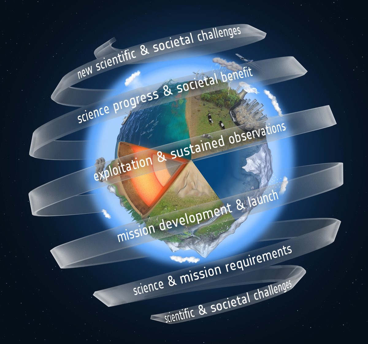
ESA Seeks Proposals for Ninth Earth Explorer
The European Space Agency (ESA) is calling for Earth-observation scientists to submit proposals for the ninth Earth Explorer satellite mission.
